THE FOREST TRAIL


The Forest trail is a long distance hiking route, part of E11, in the Baltic States that leads through the most forested lands and national parks of Lithuania, Latvia and Estonia. The route starts from the Polish – Lithuanian border near the town of Lazdijai, leads through Latvia, turning into Riga, and finishes in Tallinn, Estonia.
Length: ~2140 km, 102-114 days. In Lithuania – 747 km, 36-38 days. In Latvia – 674 km, 31-38 days. In Estonia – 720 km, 35-38 days.
The route is divided into ~ 20 km long stages with accommodation and transport options.
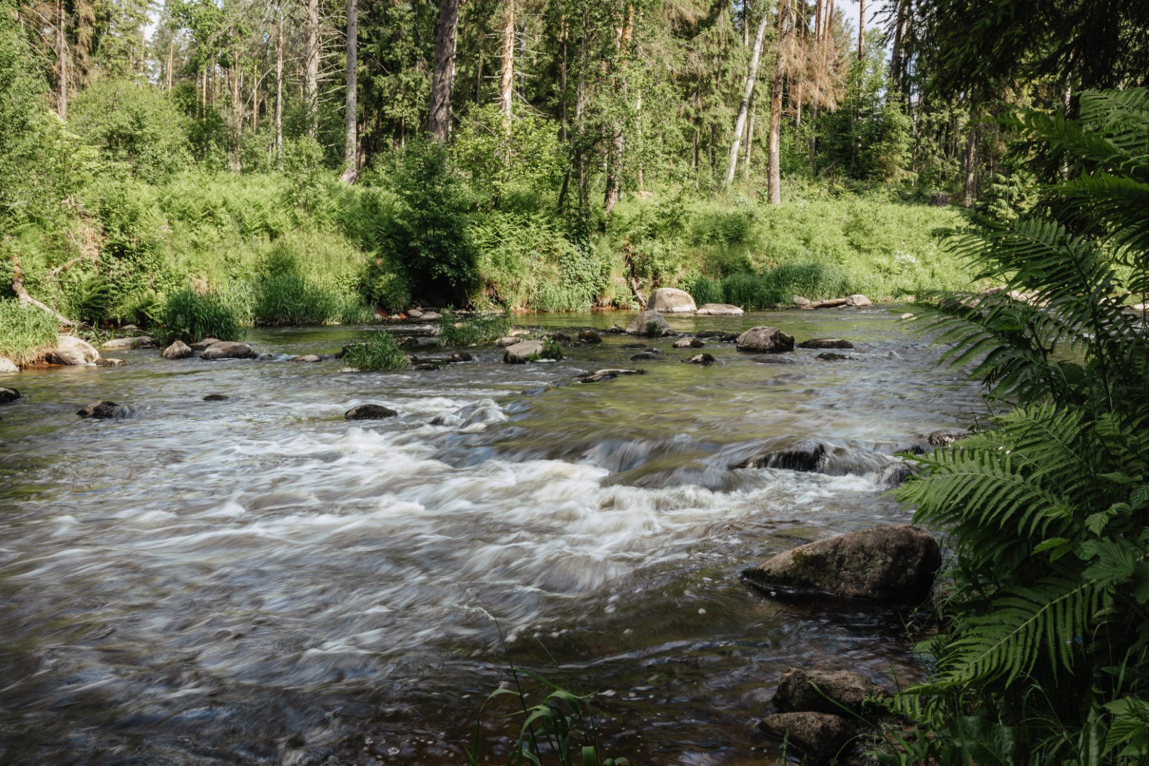
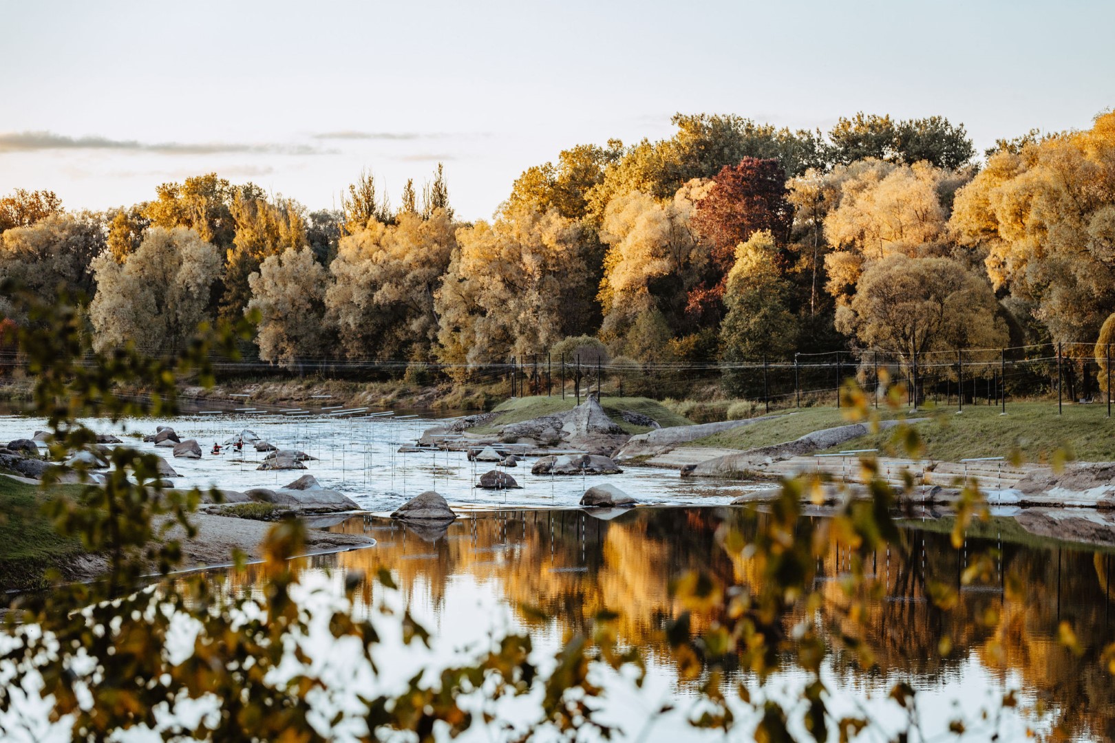
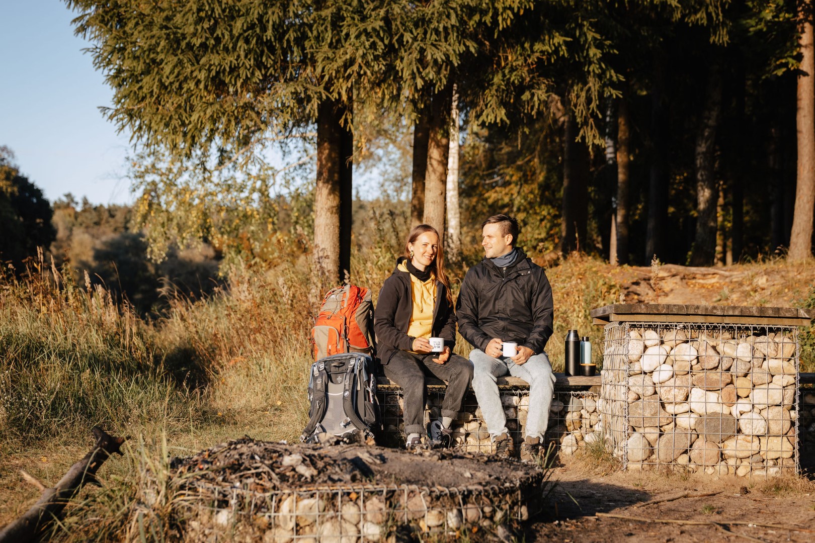
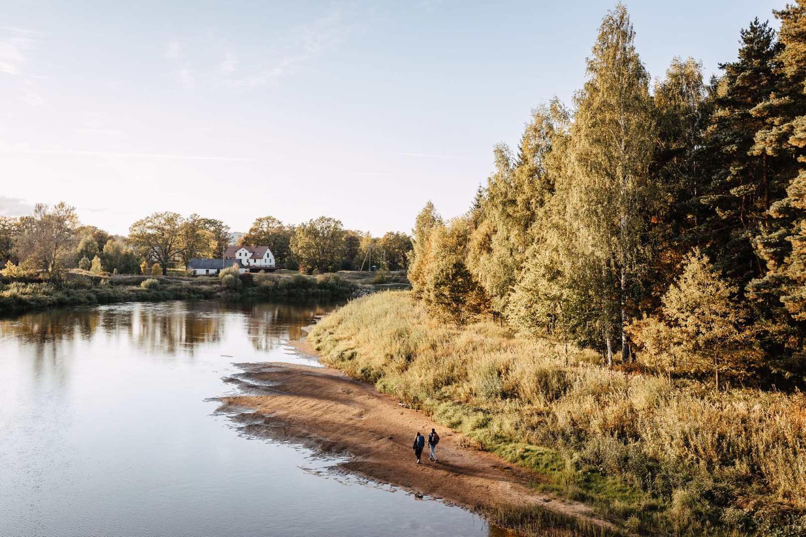
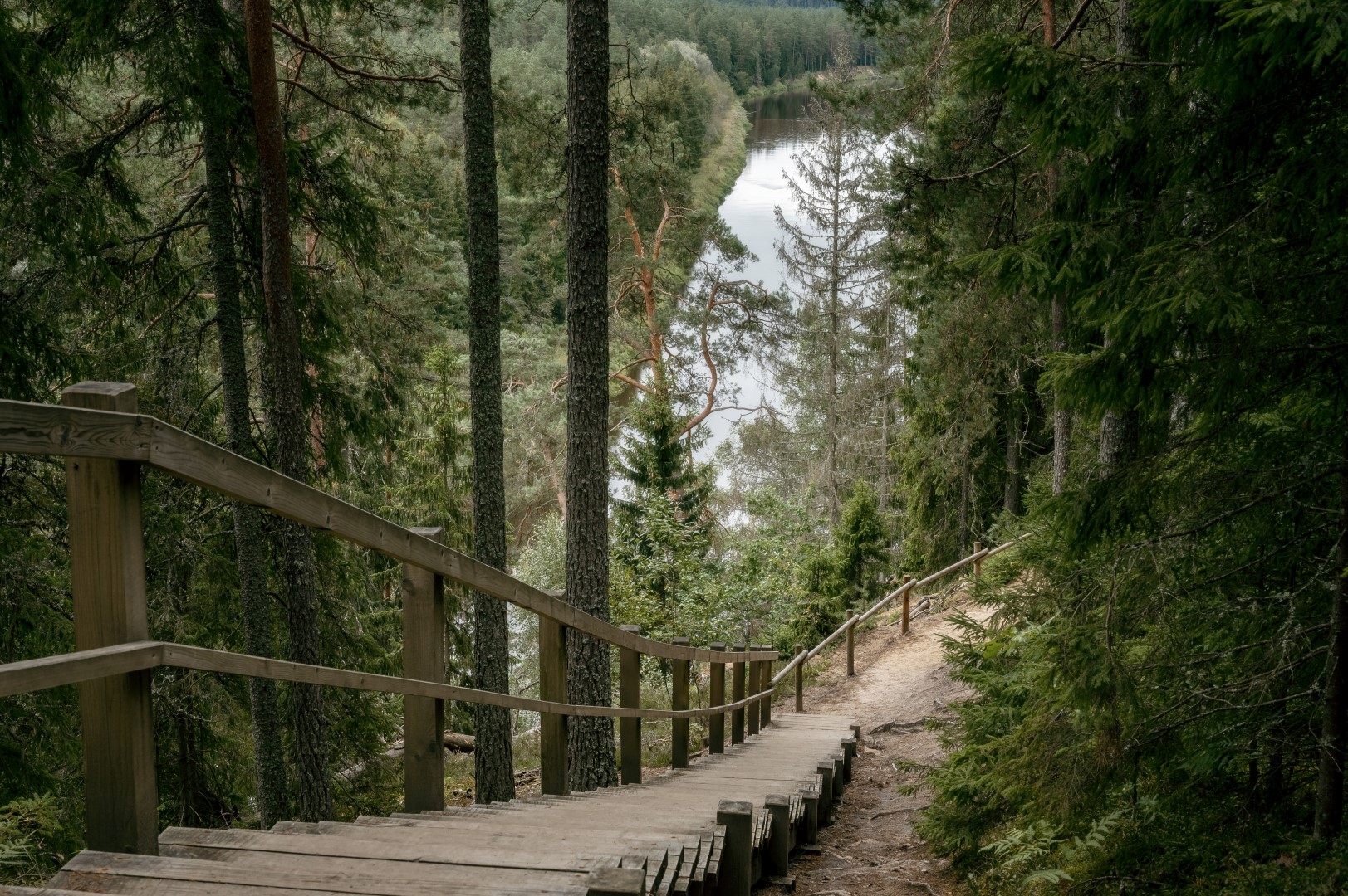
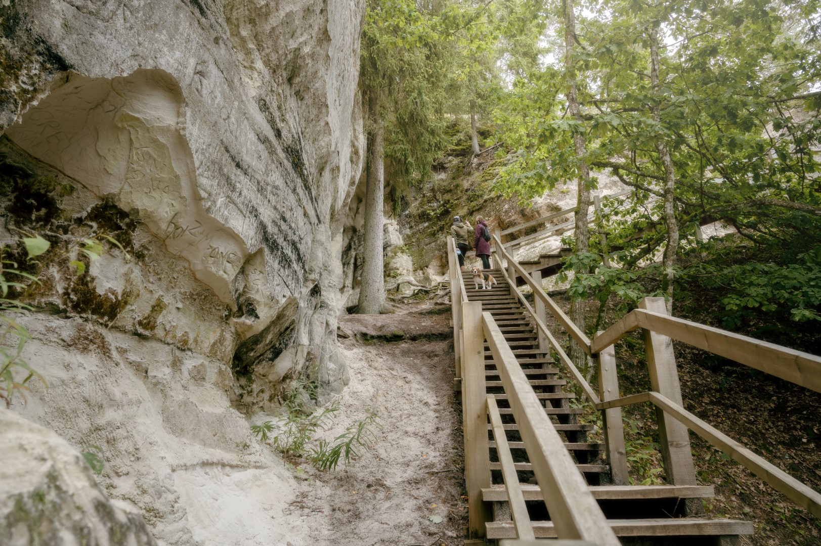
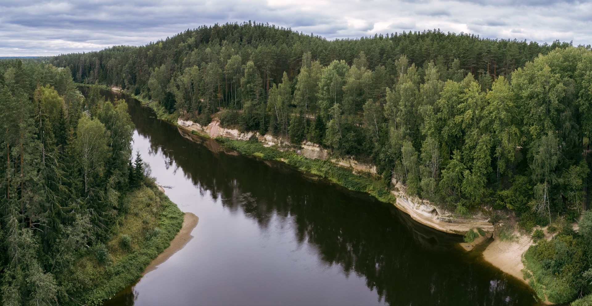
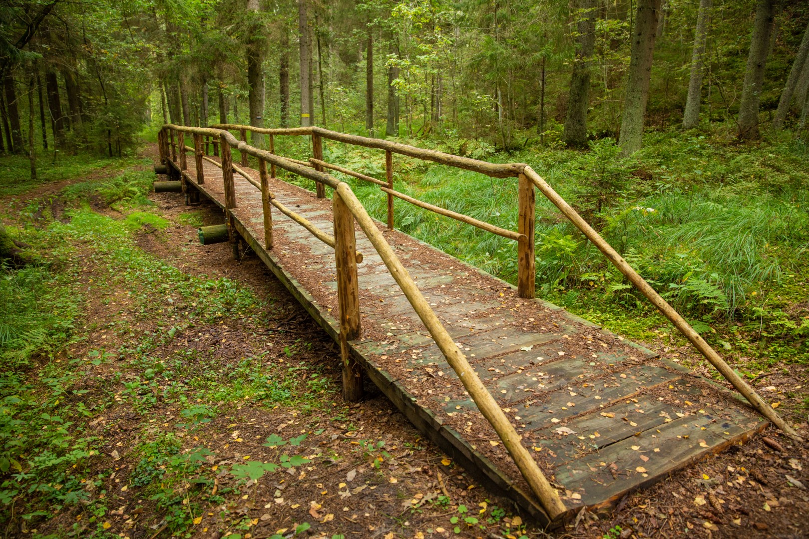
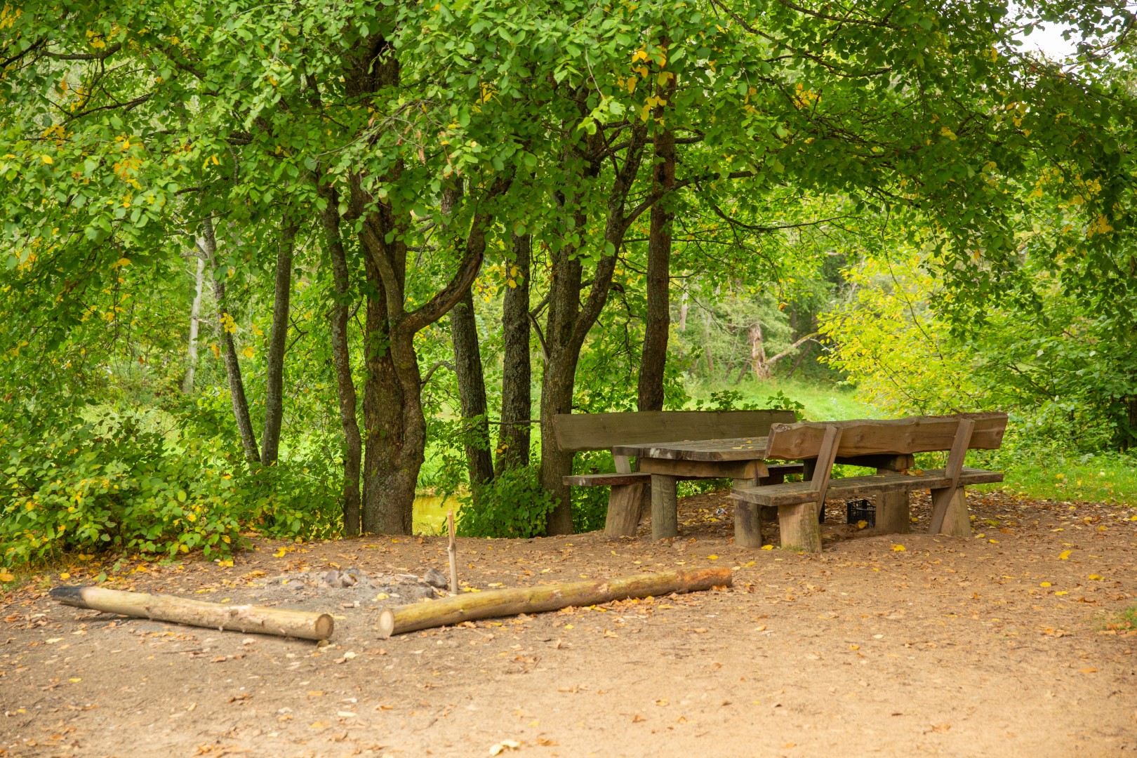
Section 8. Caunītes – Valmiera. From Caunītes, the Forest Trail leads through mesmerising pine forests and wetlands, across and around hills and slopes. One of the most beautiful views of the River Gauja opens from Sietiņiezis, and it might be worth devoting some extra time to visit the Sietiņiezis Nature Trail. The further road stretches along farmsteads and through forests, until reaching Valmiera. After Valmiera bypass, the Forest Trail leads down urban sidewalks, while the last stretch of road – from the so-called “Dzelzītis” (a narrow-gauge railway bridge) to Cēsu street – follows a wooded path along the Gauja River.
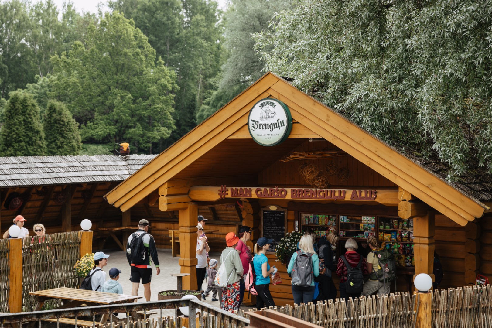
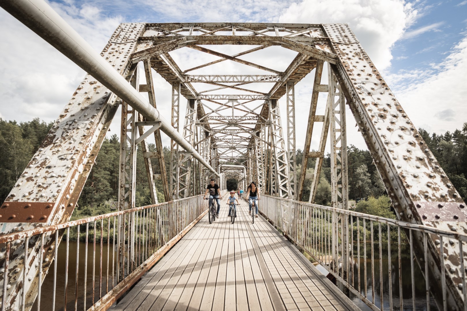
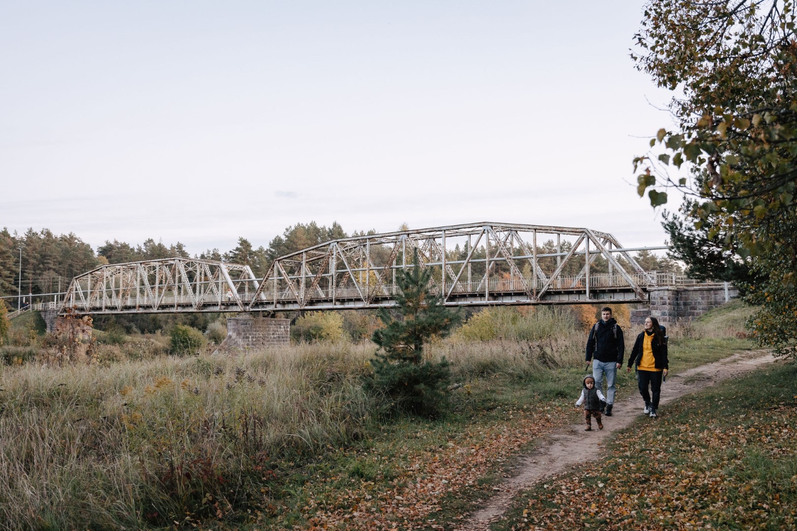
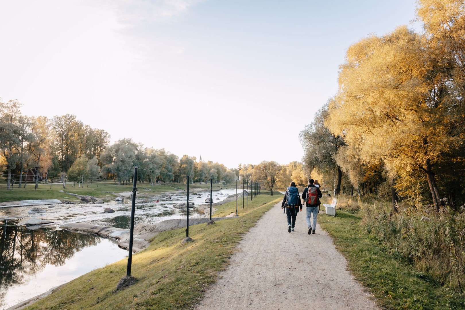
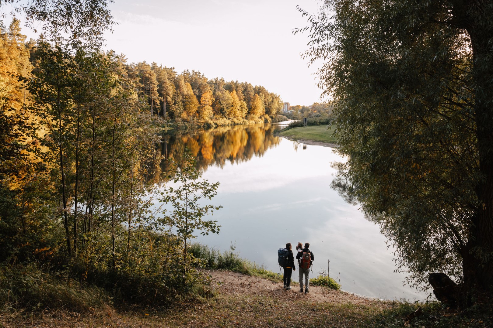
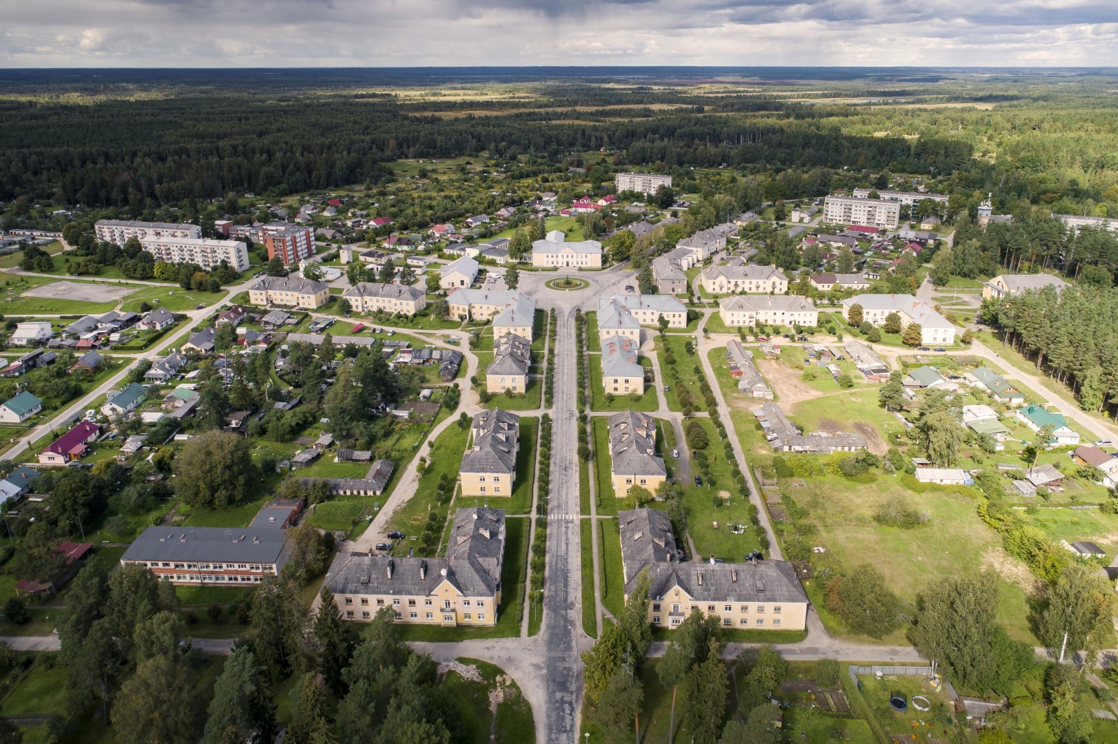
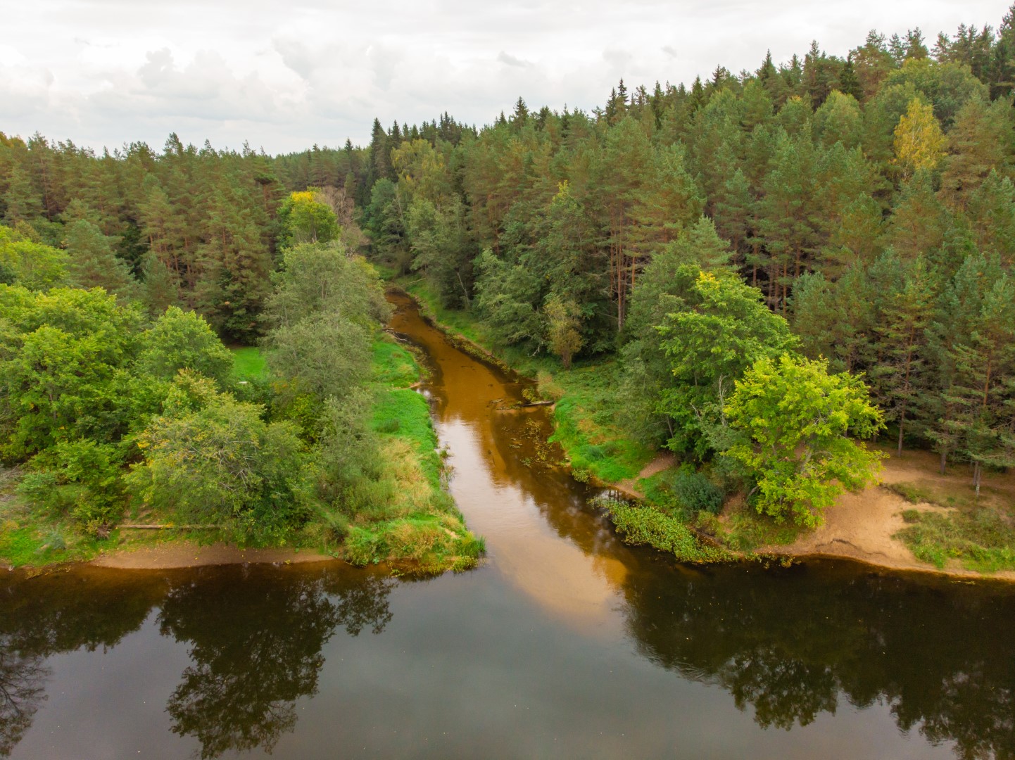
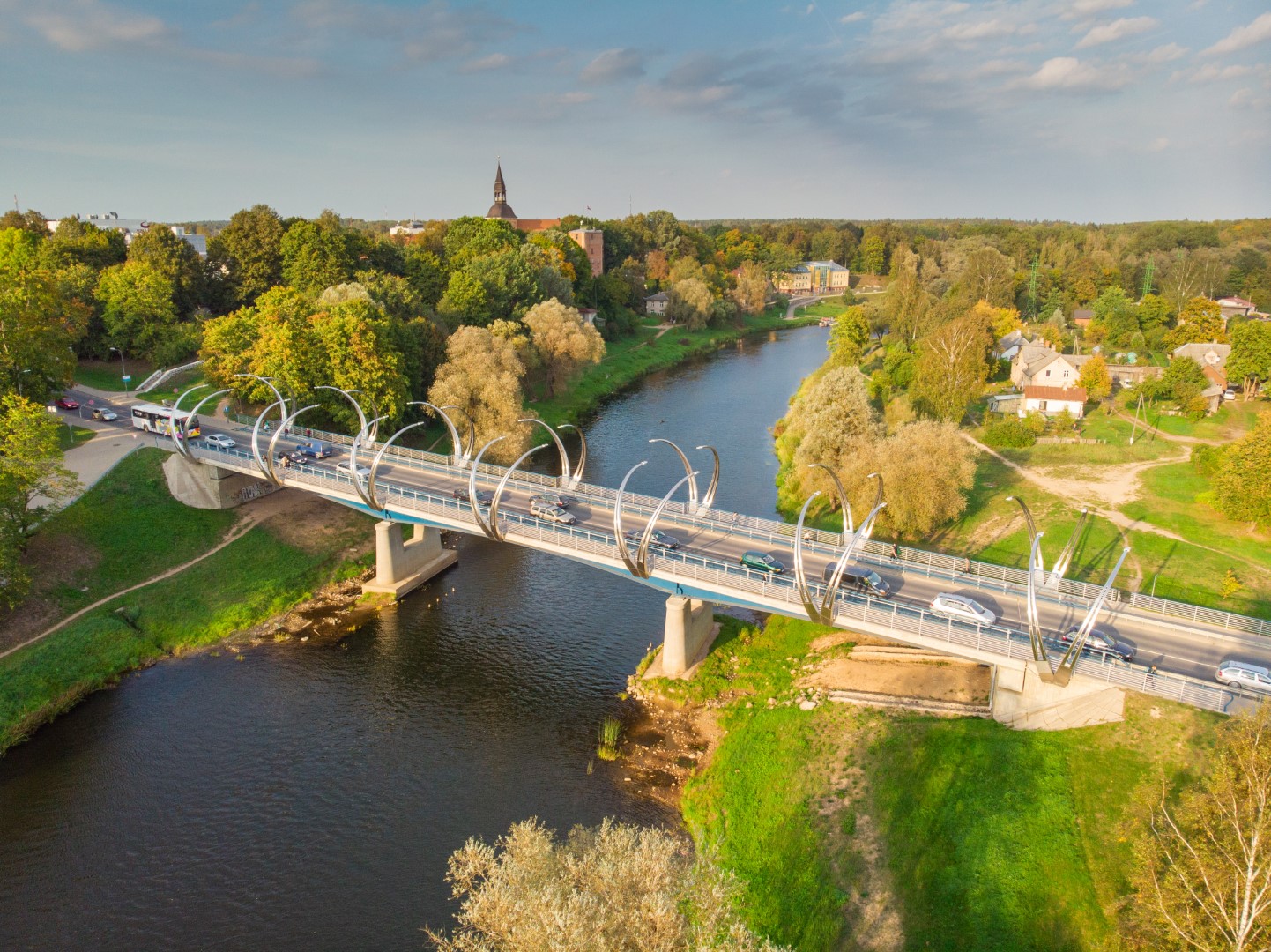
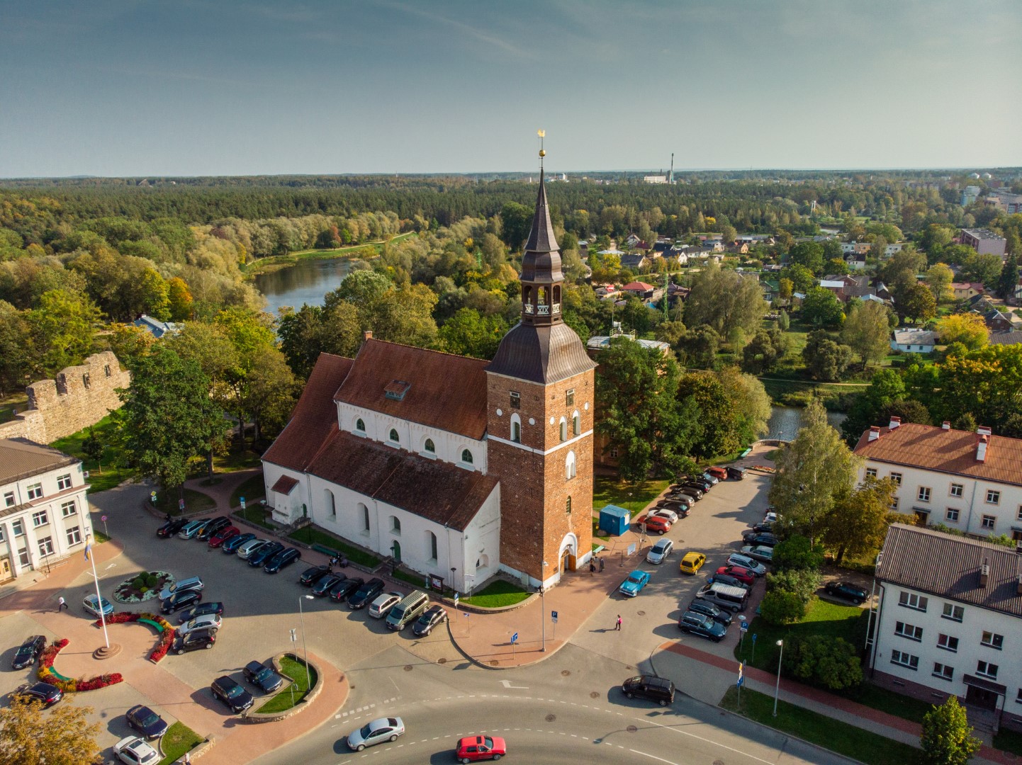
Section 9. Valmiera – Strenči.The trail passes through the historical centre of Valmiera and the Atpūtas Park, which is a popular place among hikers and Nordic walkers, then crosses the suspension bridge, passes Pauku priedes pine forest and Baiļu kalns. From there it follows the Abuls Trail, curving along the banks of the river until reaching the Brenguļi Brewery, and further down, beyond Pūpoli, enters vast, unpopulated forest areas. The first part of this section passes by numerous small summer cottage villages with names such as Enerģētiķis, Saulītes, Sprīdītis, Gaujmaļi, Pūpoli and Gaujaslāči, which were initially established during the Soviet period as summer cottage neighbourhoods of the people of Valmiera and the surrounding territories. Near Ūdriņas, the Forest Trail leads through a labyrinth of the riverbeds and turns north, crossing the Gauja Bridge, where a resting and boating stop is located. The centre of Strenči is located at a 1.5 km distance. Part of the section passes through the Northern Gauja protected landscape area.
Difficulty: moderate if done in two days, difficult if done in one day.
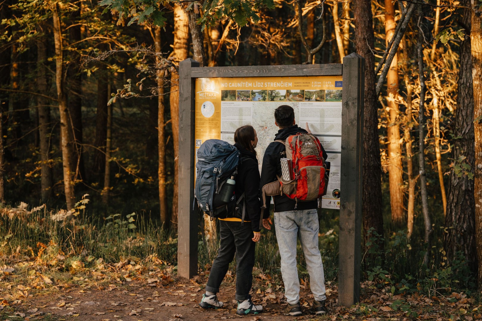
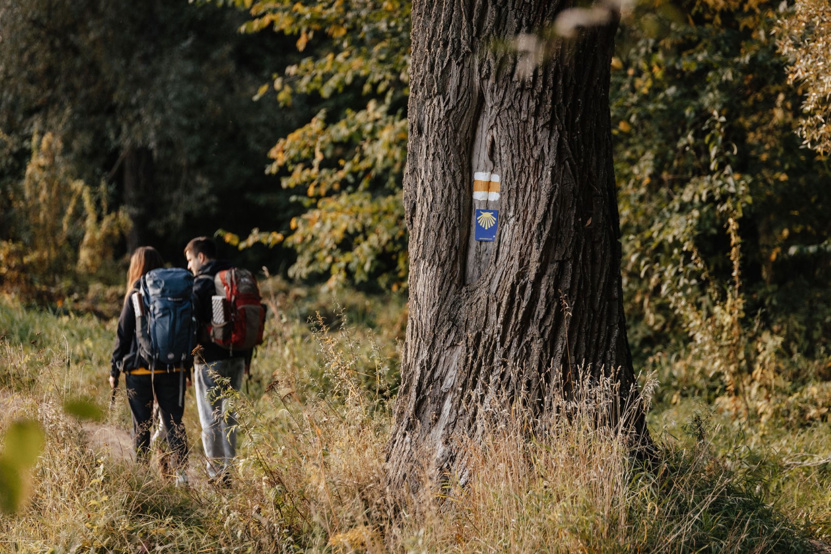
Mežtakas route map HERE
!!! From November 1, 2023, construction works are planned on the Vanšu bypass bridge. During construction (until spring), crossing the bridge will be secured. However, when crossing the bridge during construction works, we ask you to be extra careful! It should be taken into account that there may be obstacles on the way, including heavy vehicles, which may hinder movement! In 2024, the bridge will be closed in certain periods.