ST. JACOB’S ROAD
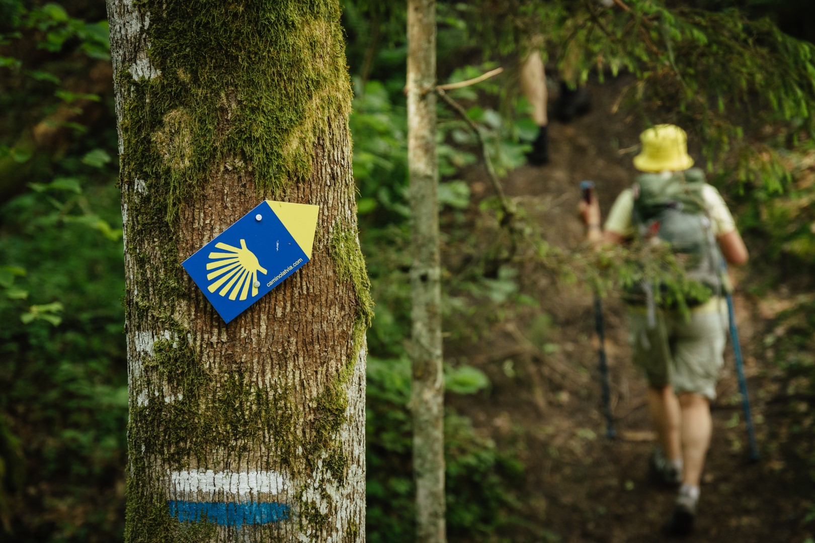

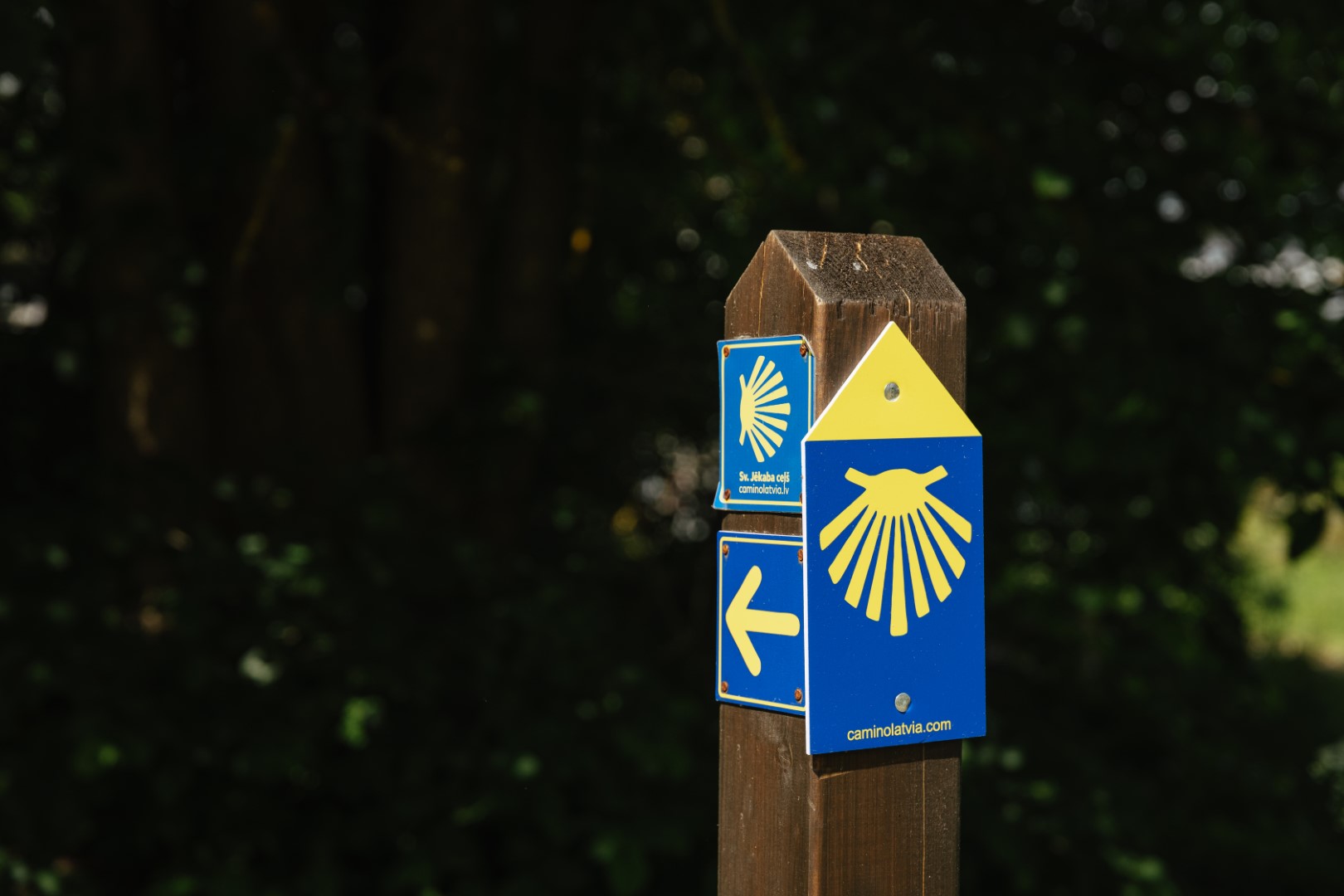
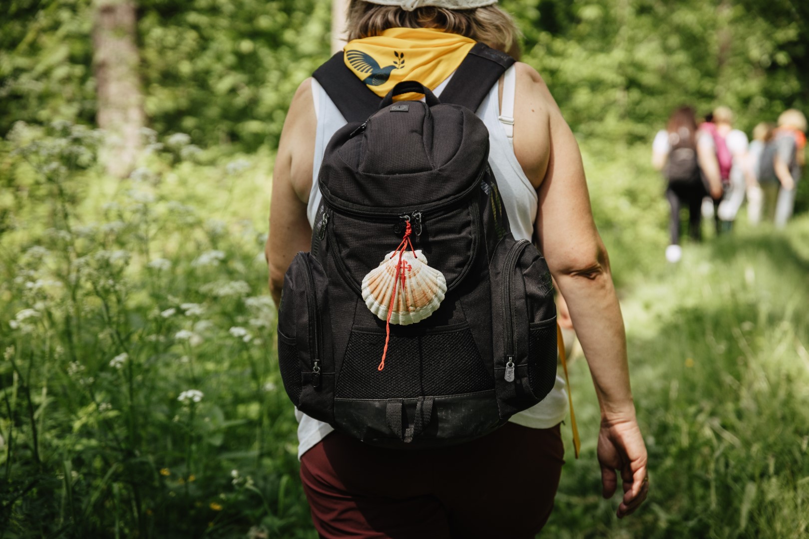


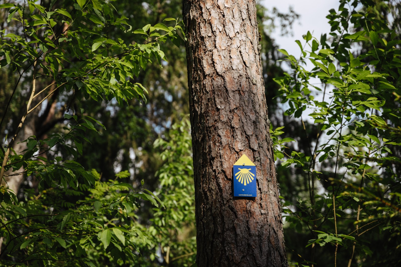
The St. Jakob’s Road (also called Way of St. James and Camino de Santiago) is one of the main historical pilgrimage routes in Europe. The route is designed to promote and develop the traditions of pilgrimage in Europe as a whole and in each country individually, locally and internationally, highlighting the unique, historical, cultural and intellectual heritage values of each place.
The full length of the St. Jakob’s Road in Latvia is 562 km, and is divided into 24 stages.
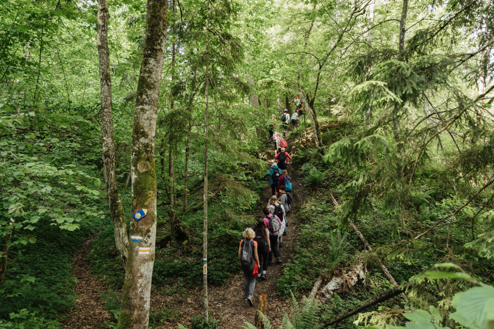
Three route stages run through Valmiera region – 2nd, 3rd and 4th stage.
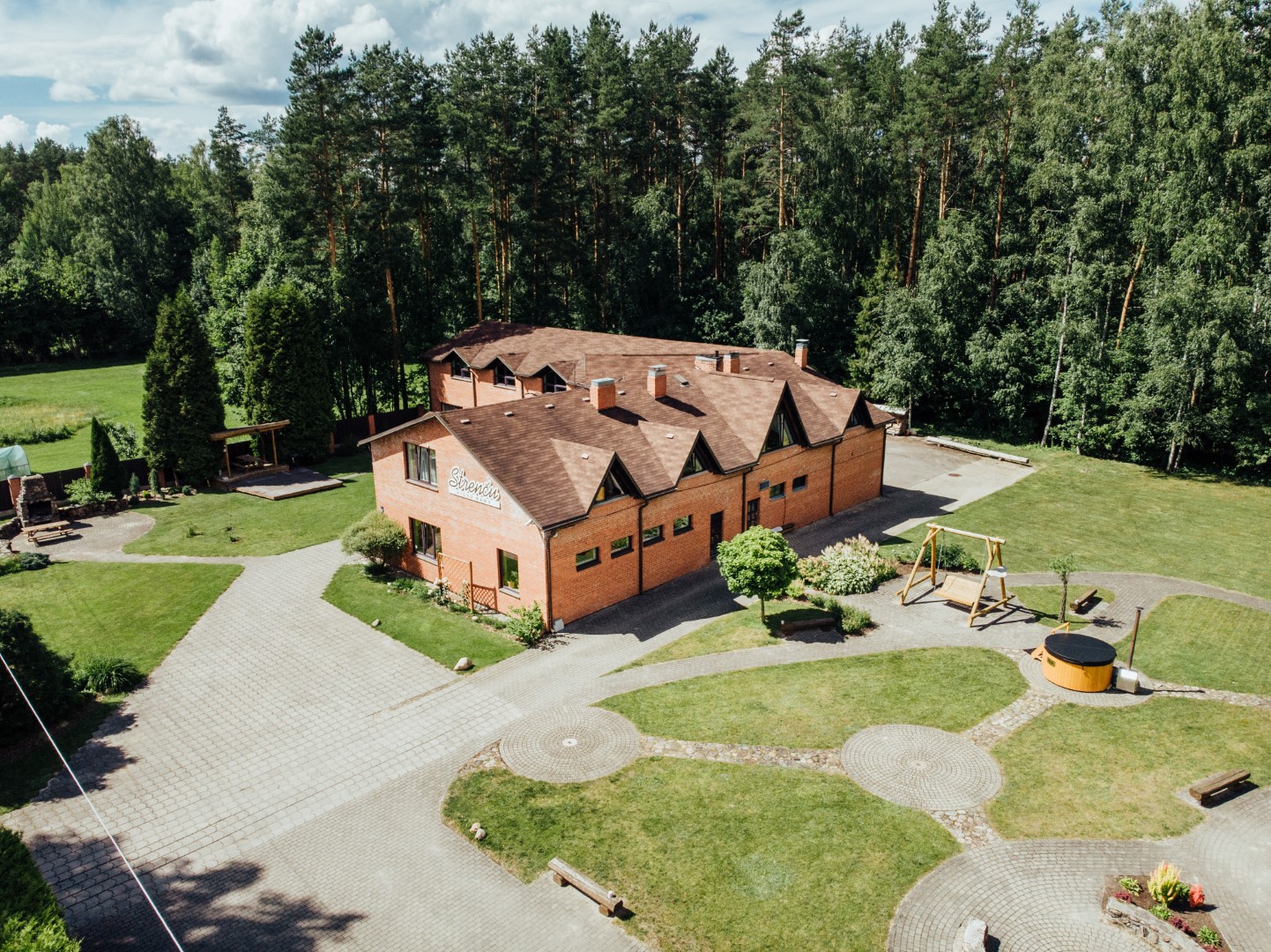
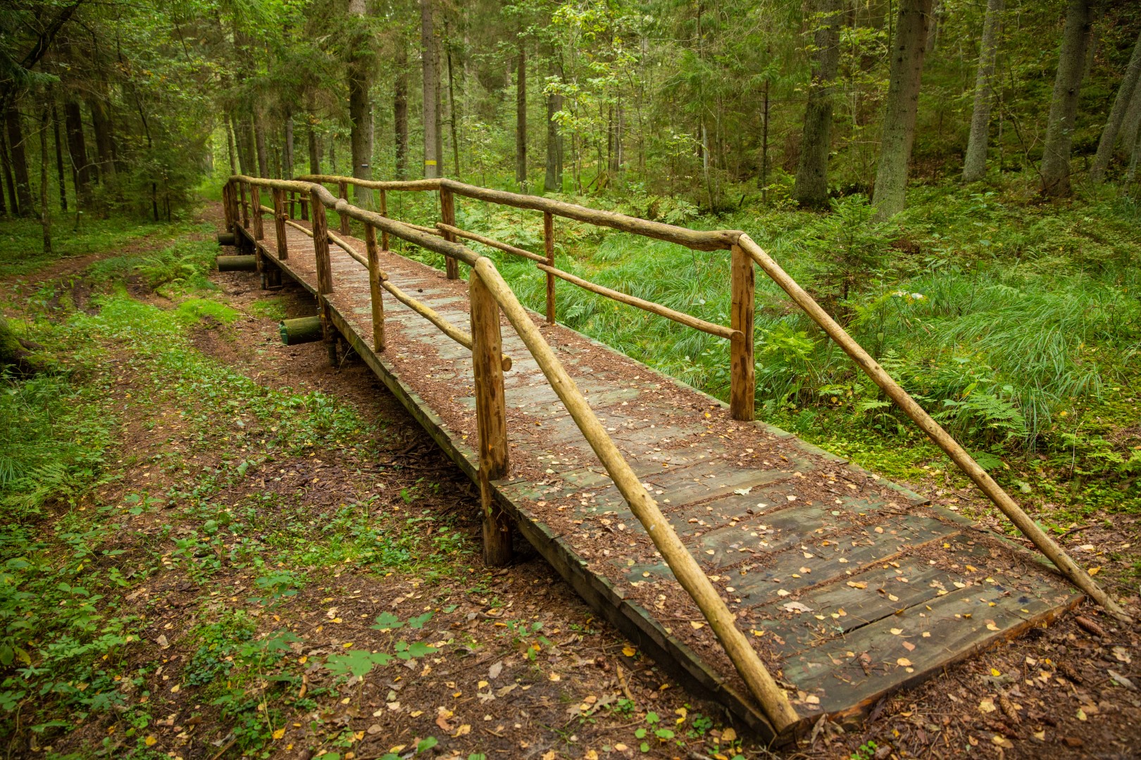
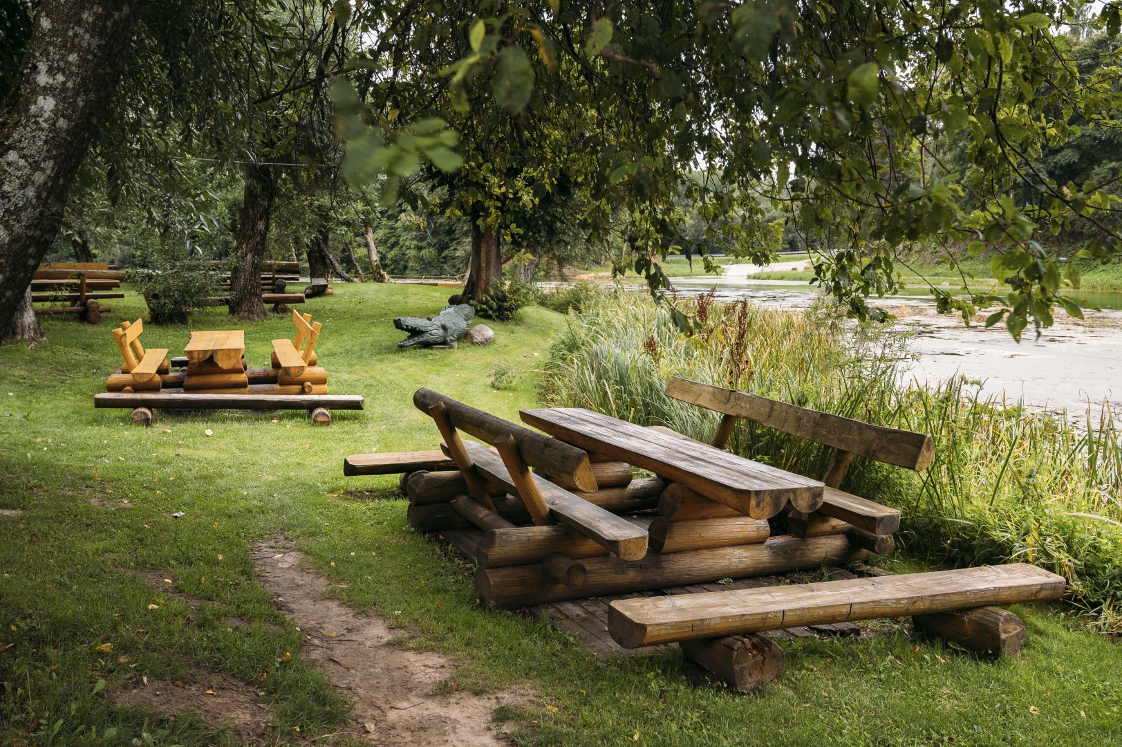
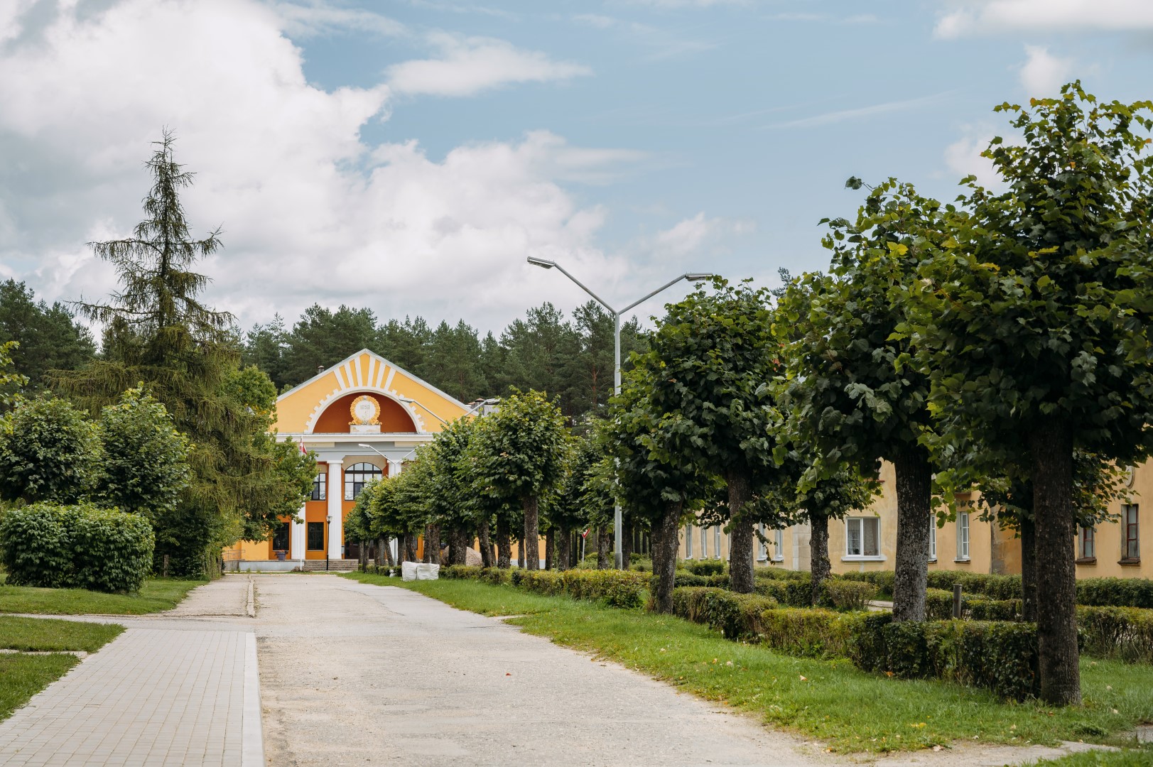
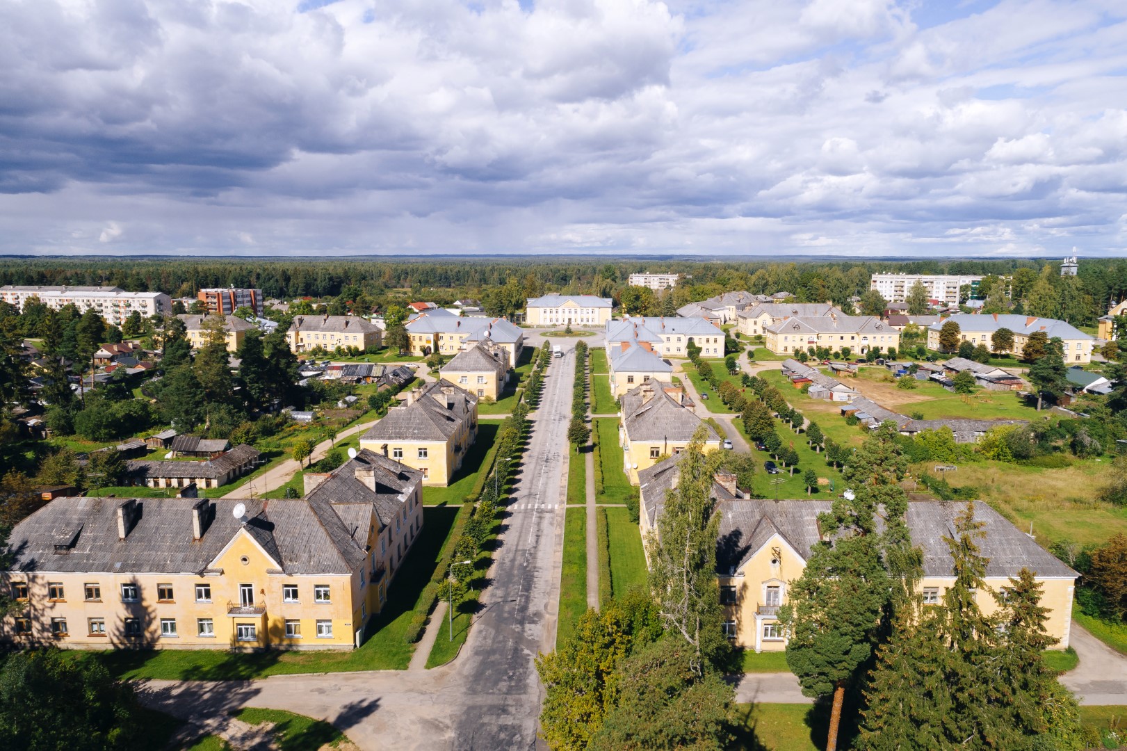
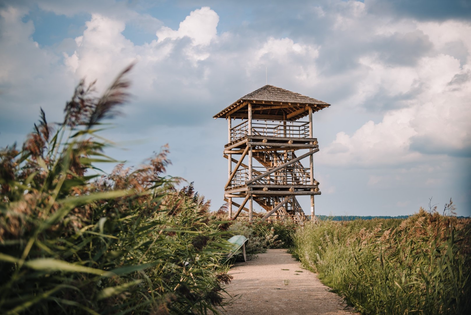
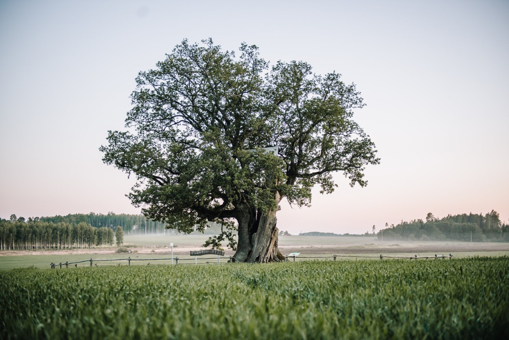
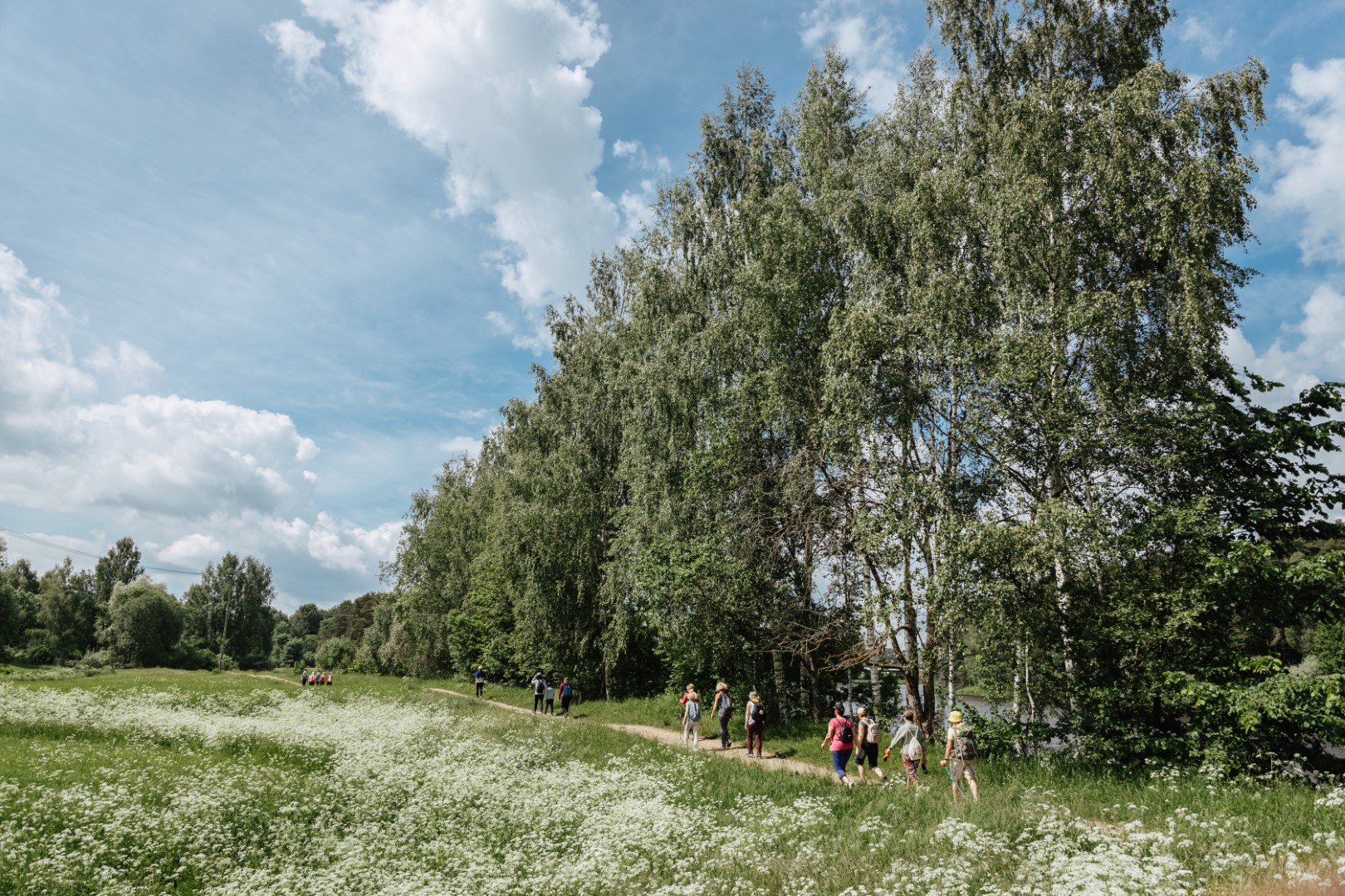
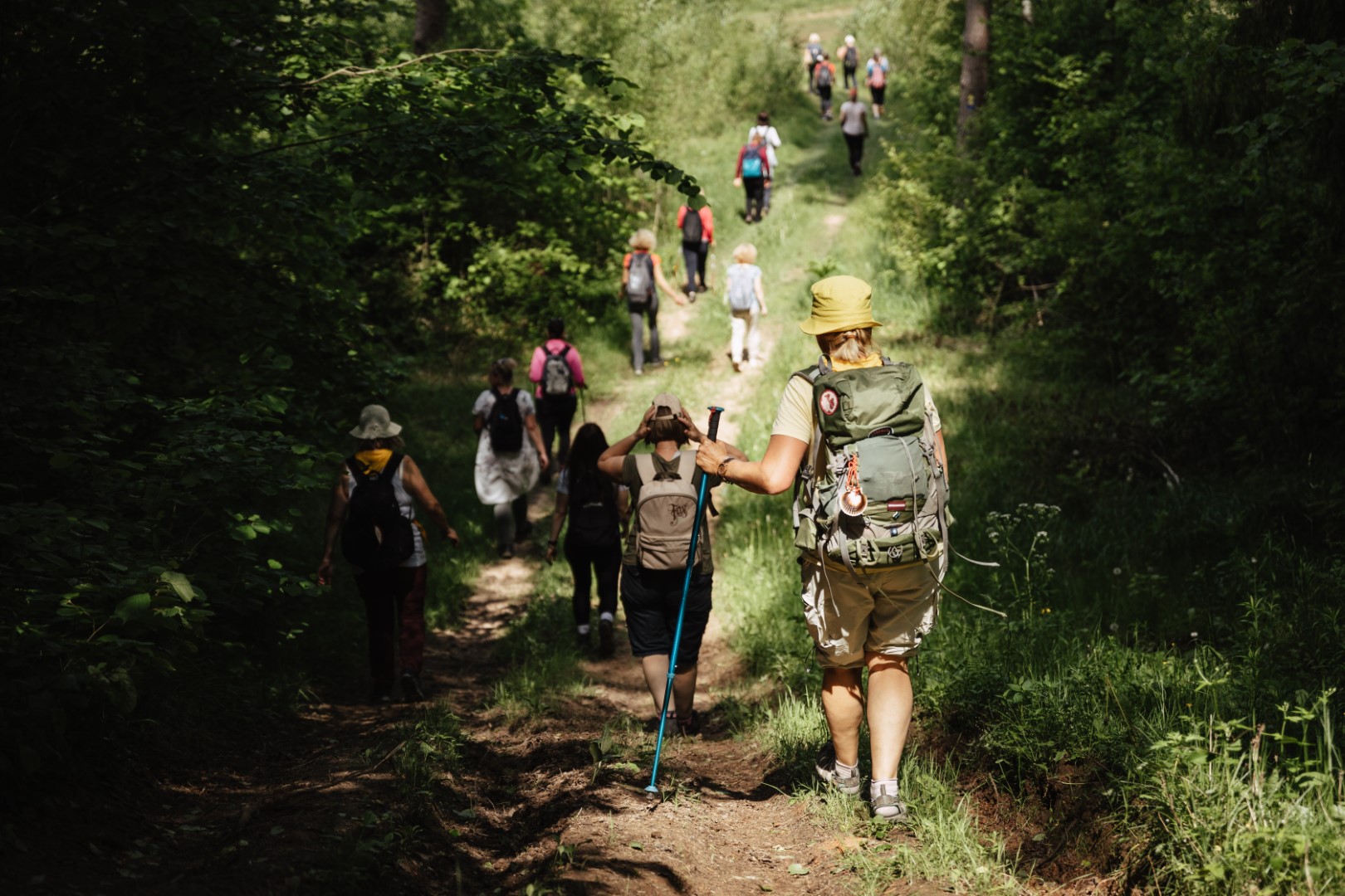
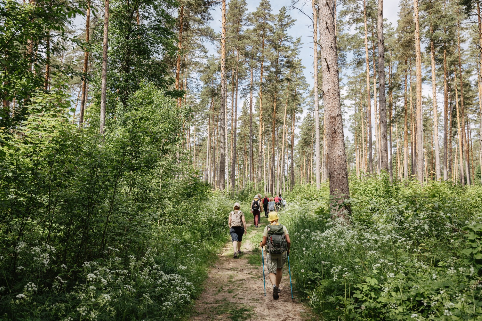
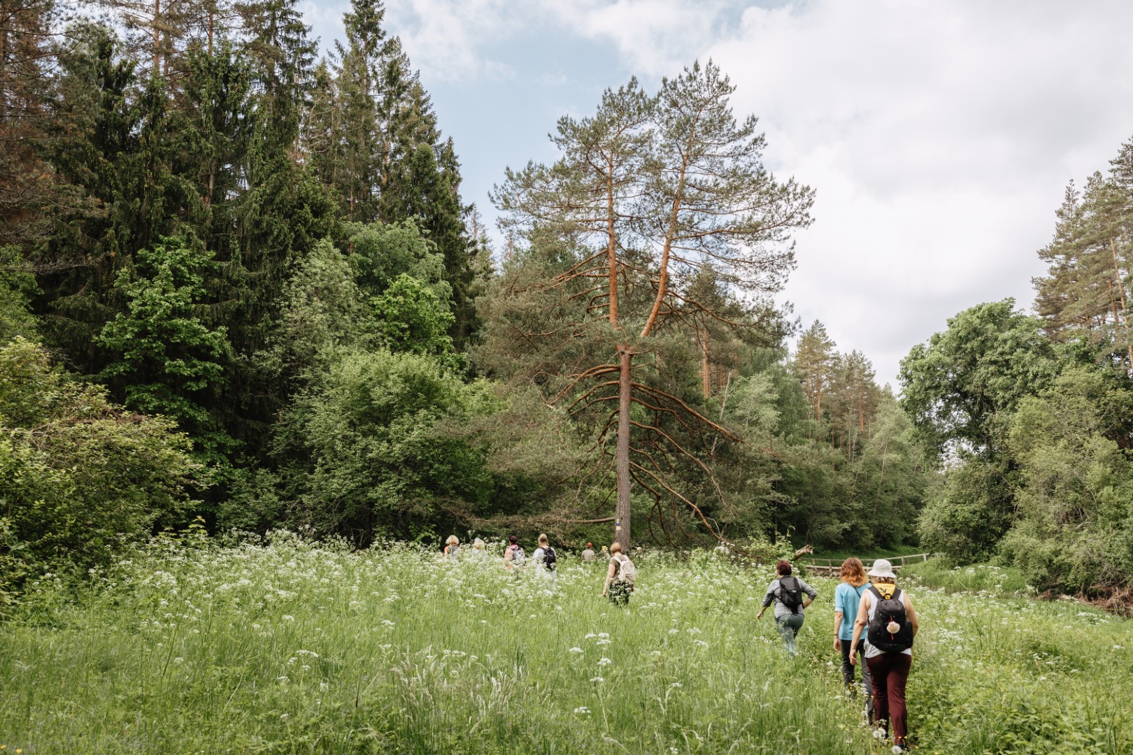
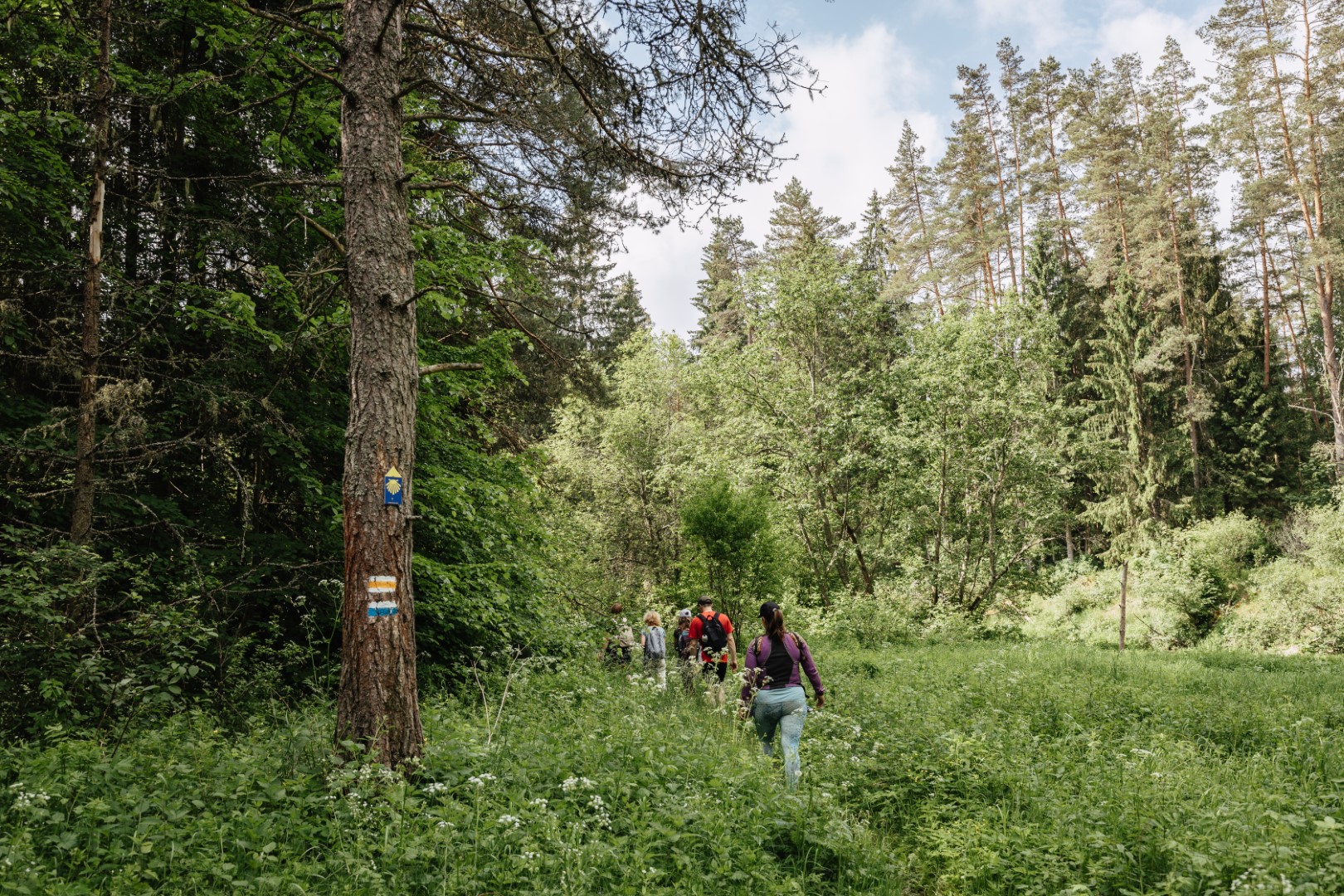
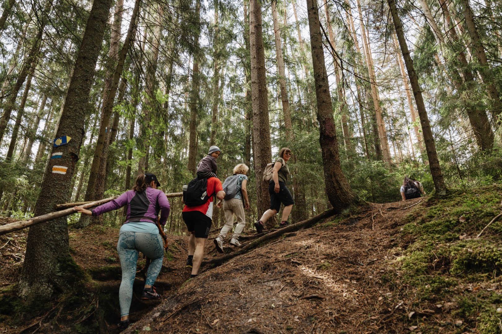
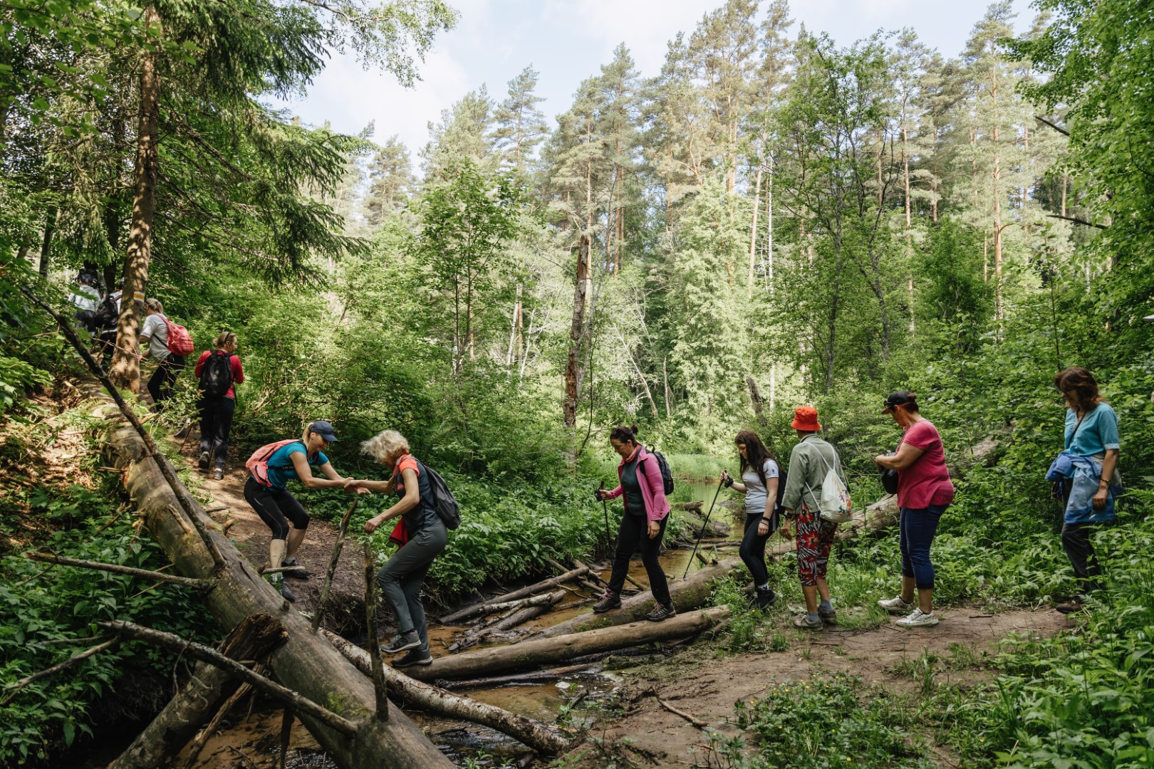
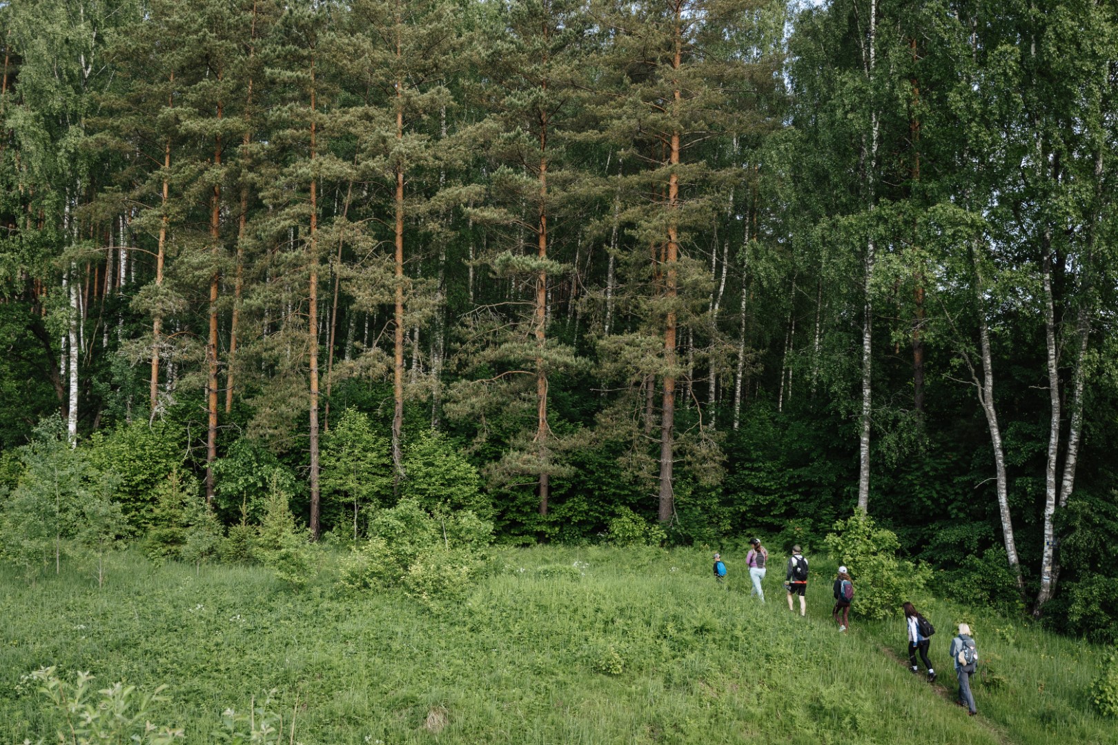
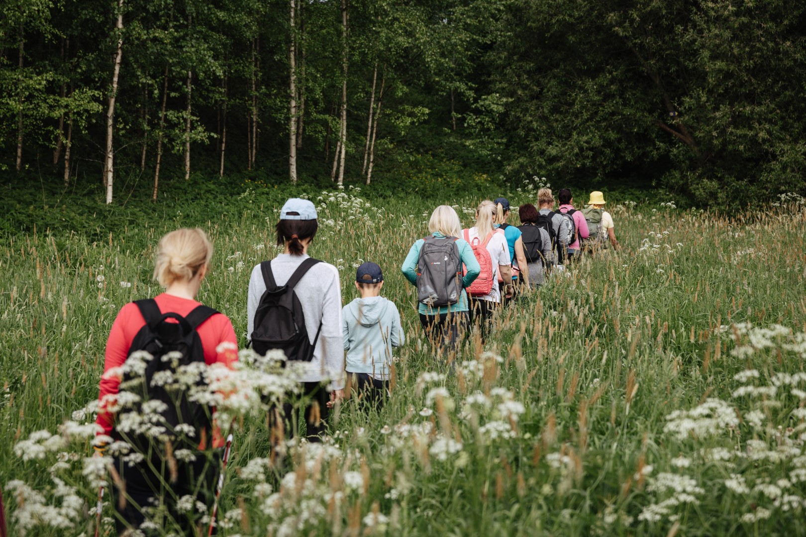
2nd stage. Turna- Strenči. (~ 34 km). The route starts in the center of Turna near the people’s house. Further along lake Valžezers, it winds its way along winding roads, pastures, houses, villages, rivers. The route includes the Seda bog of the North Vidzeme Biosphere Reserve. In wet weather, this section of the road can be muddy and challenging, so proper hiking shoes will come in handy. Along the way you can see big trees and alleys, the architecture of the small town of Strenči and make your way to the Strenči church to get a stamp in your Pilgrim’s passport.
Difficulty level: moderate difficulty if completed in two days; hard if done in one day
!!! Road reconstruction works are taking place in the Seda bog. Please use an alternative route from Jērcēni directly to Strenči for the Turna–Strenči section. You can find more information about the alternative route HERE.
The GPX file download for the route Turna-Strenči HERE.
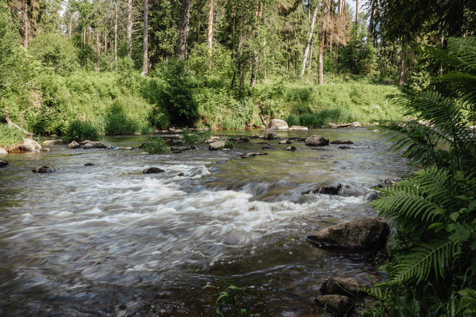
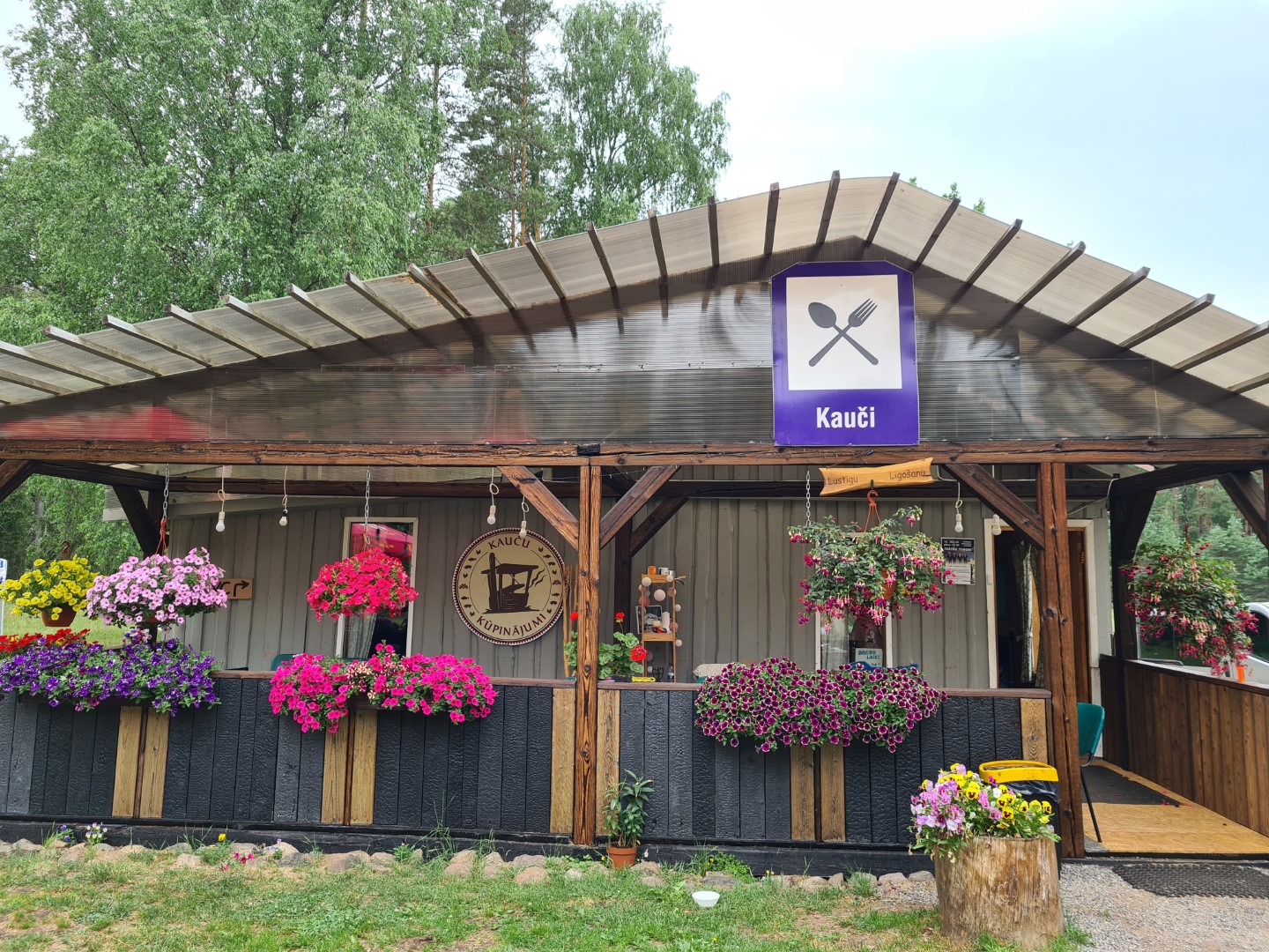
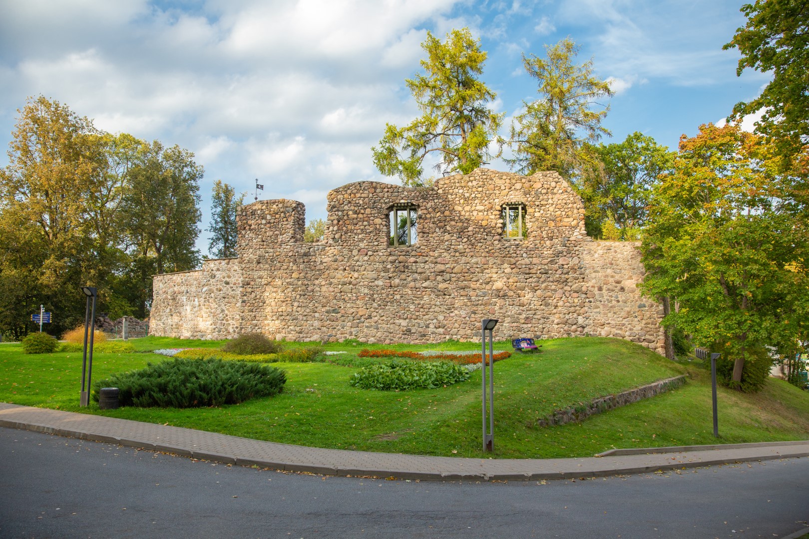
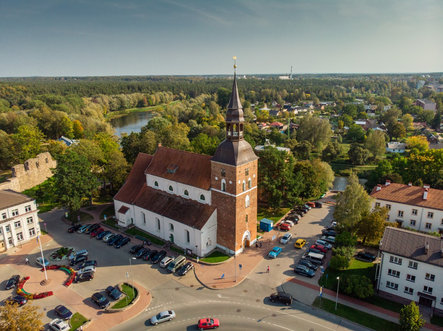
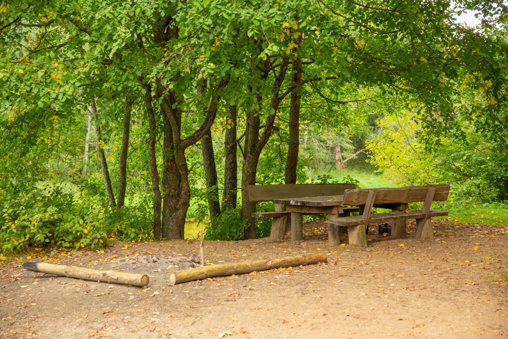
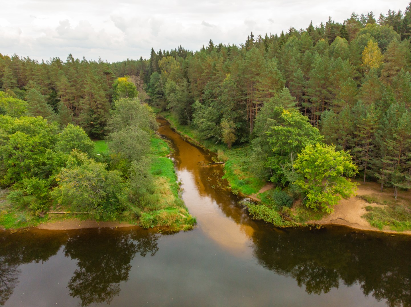
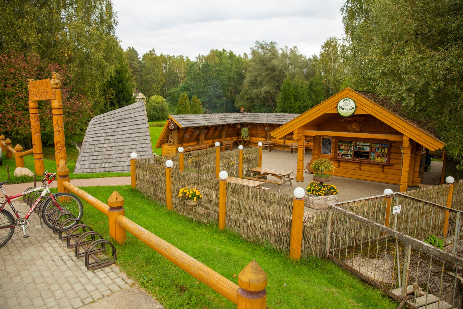
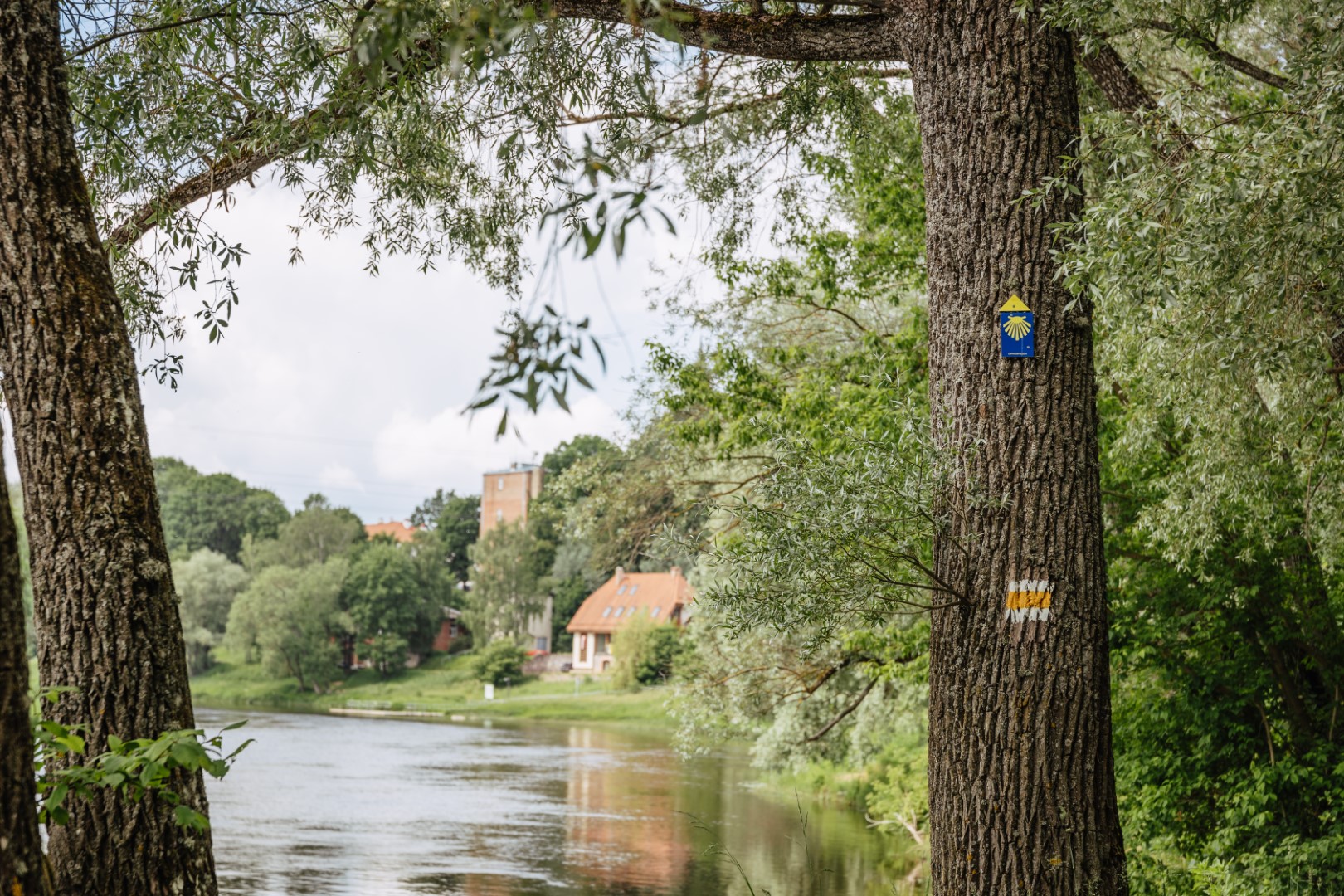
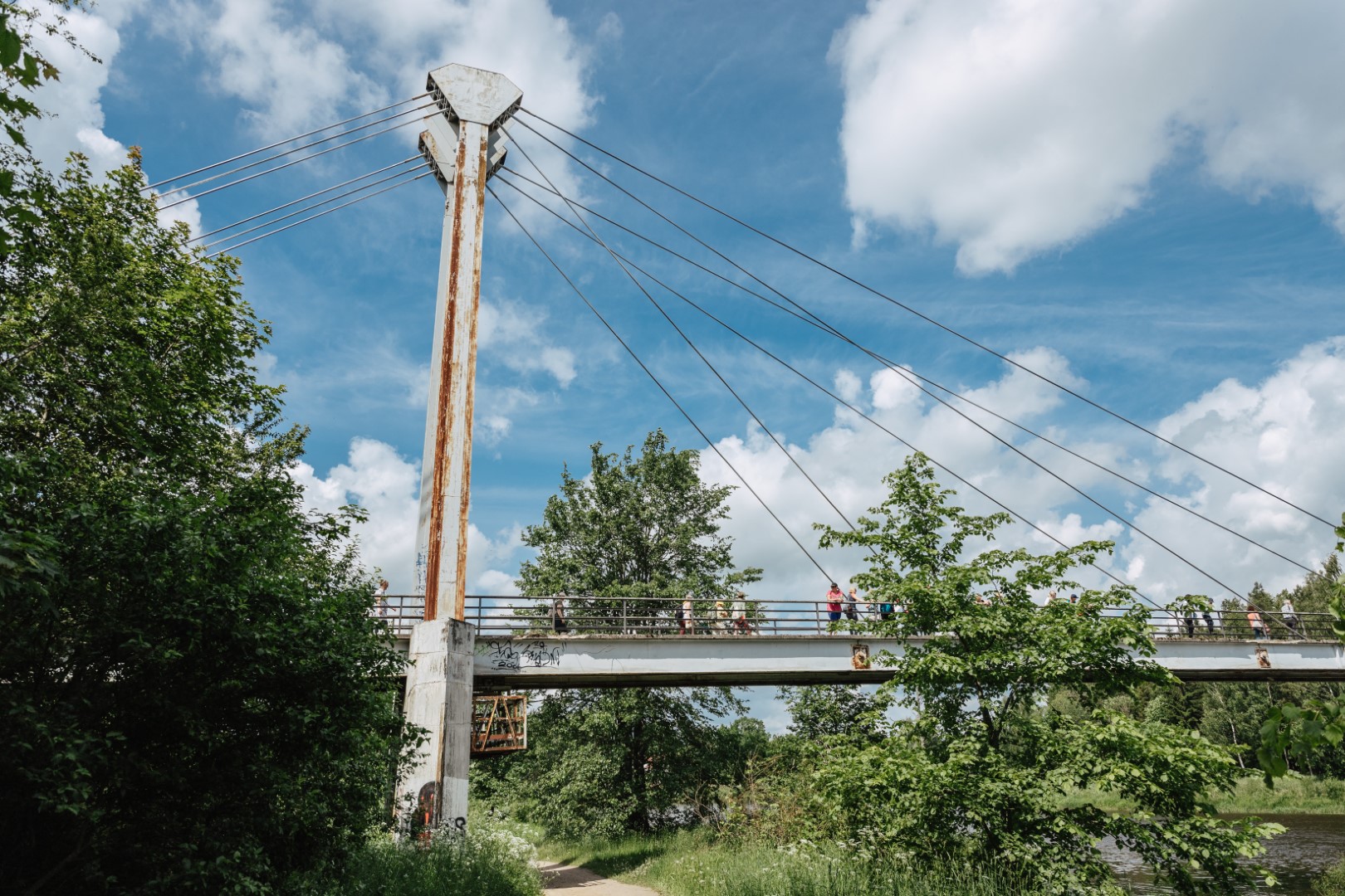
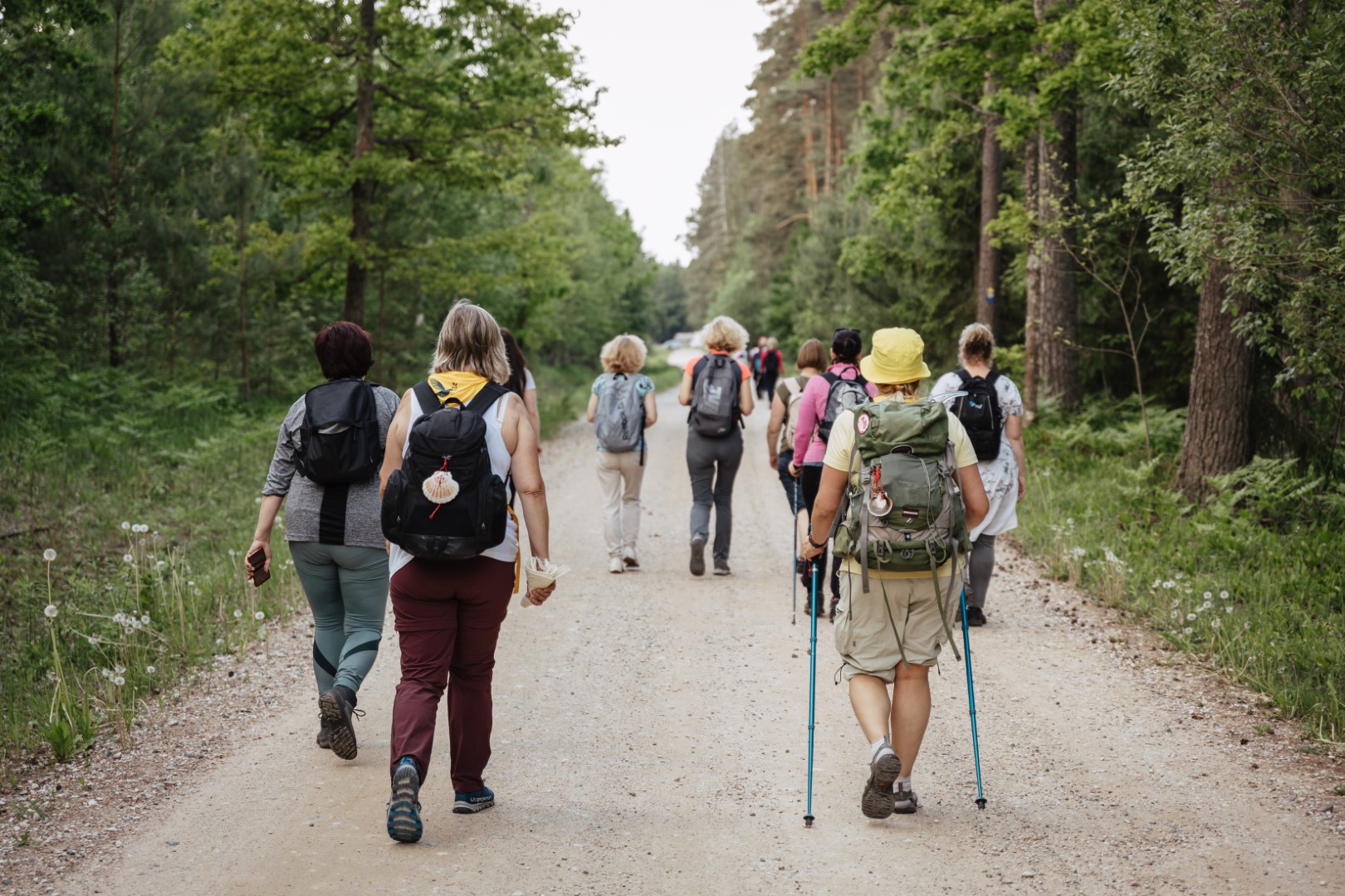
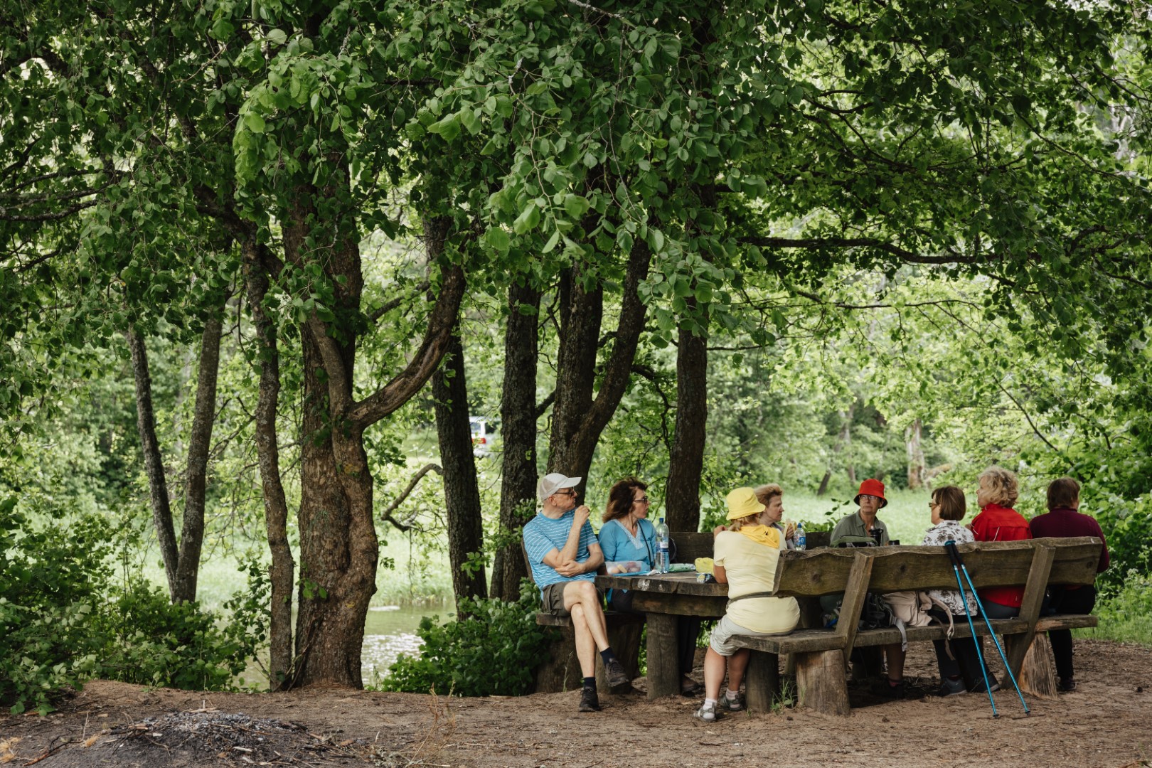
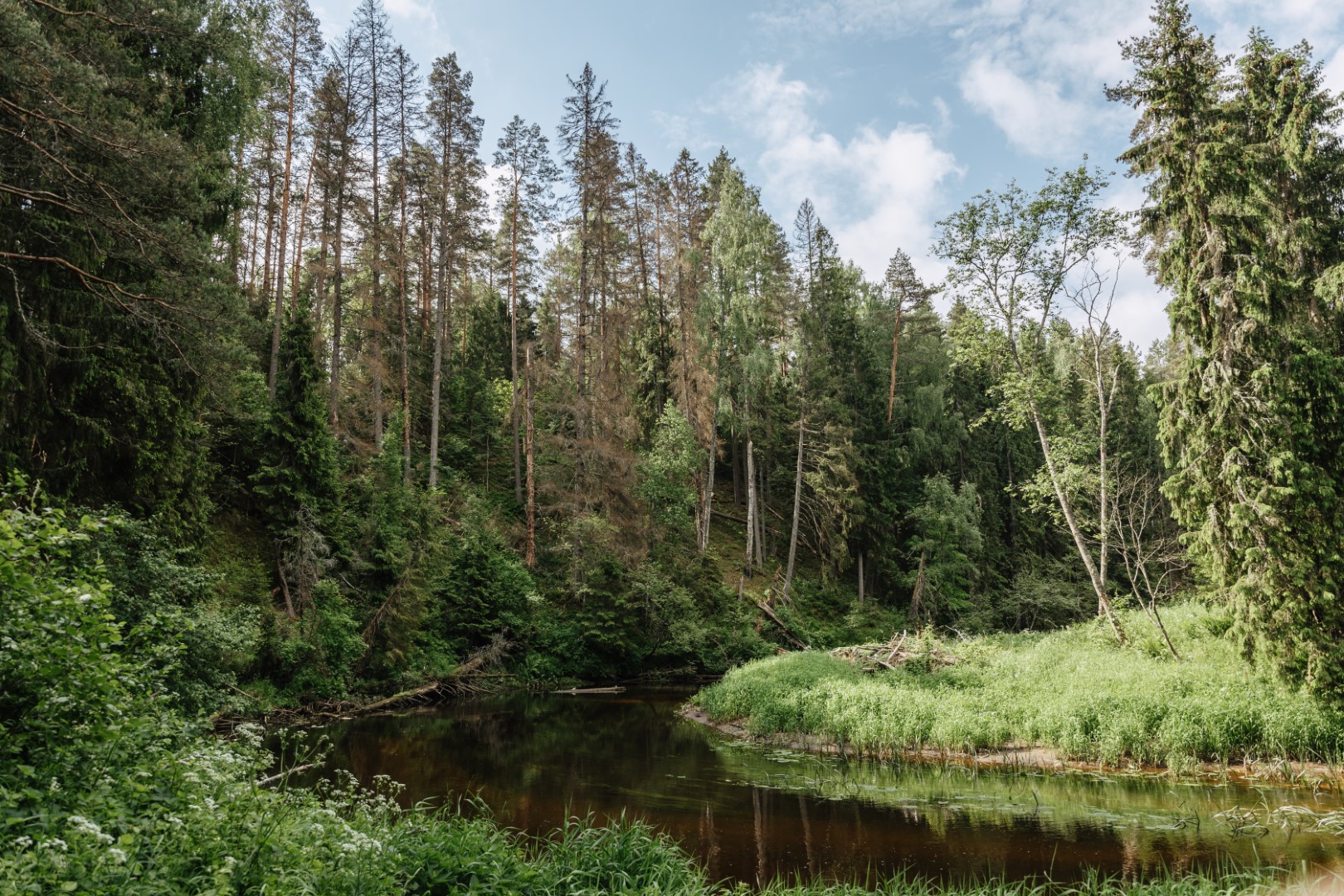
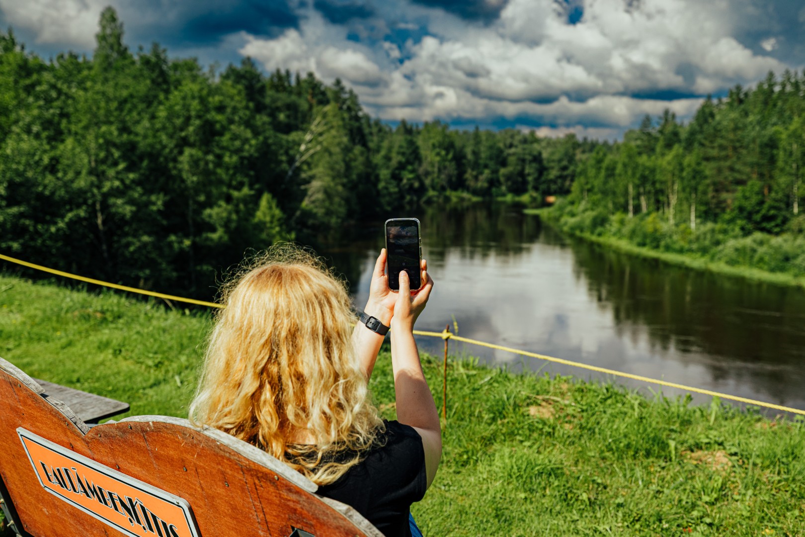
3rd stage Strenči – Valmiera (~ 29 km). Starting the route from Strenči church and exiting through Strenči, the road will follow beautiful forest trails along the banks of the river Gauja and small villages. During the summer you can refresh yourself and enjoy vitamin berries rich in vitamins or pick mushrooms. The route winds through the village of Brenguļi, where you can buy food in a local shop, as well as take a breath in the Brenguļi brewery during the warmer months of the year, tasting the local beer and enjoying some snacks. Further on, the road leads along the picturesque Abula nature trail, revealing the splendor of the banks of the Abula river. Continuing to move forward, you will reach the hostels – campsites Jaunarāji or Baiļi, but further the road overlaps with the trails of the Mežtakas route, continuing the road to Valmiera St. Sīmanis church.
Difficulty level: moderate difficulty if completed in two days; hard if done in one day
The GPX file download for the route Strenči – Valmiera GPX HERE.
4th stage Valmiera – Caunītes (~ 21 km).
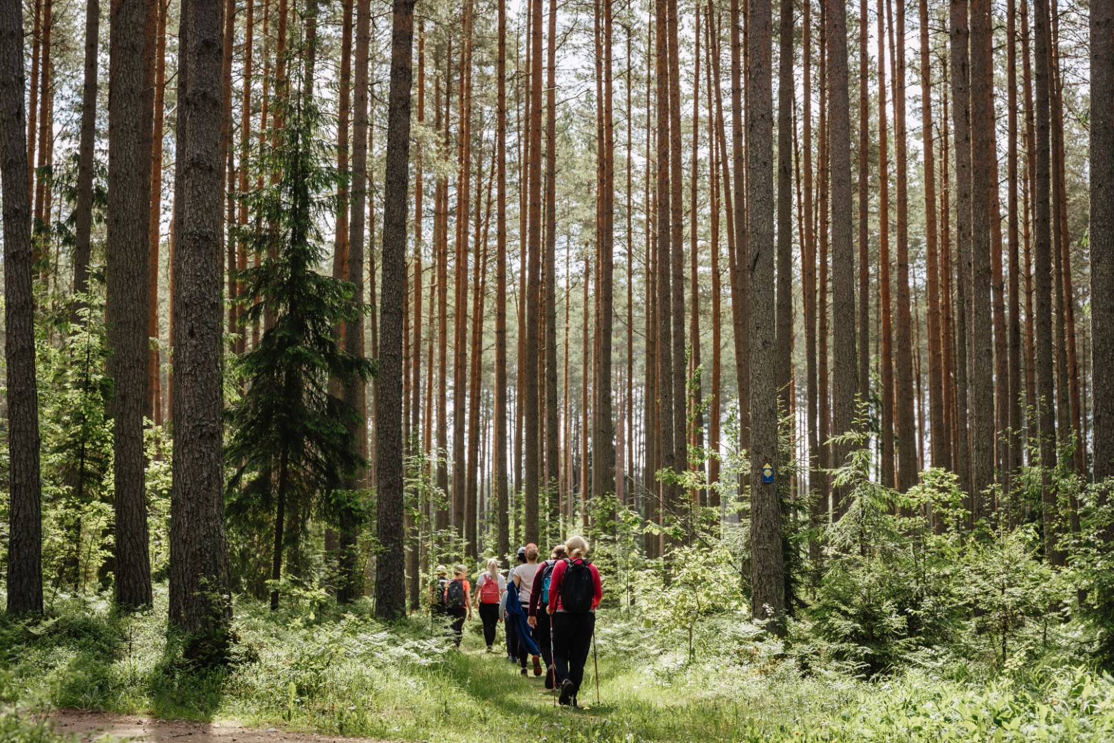
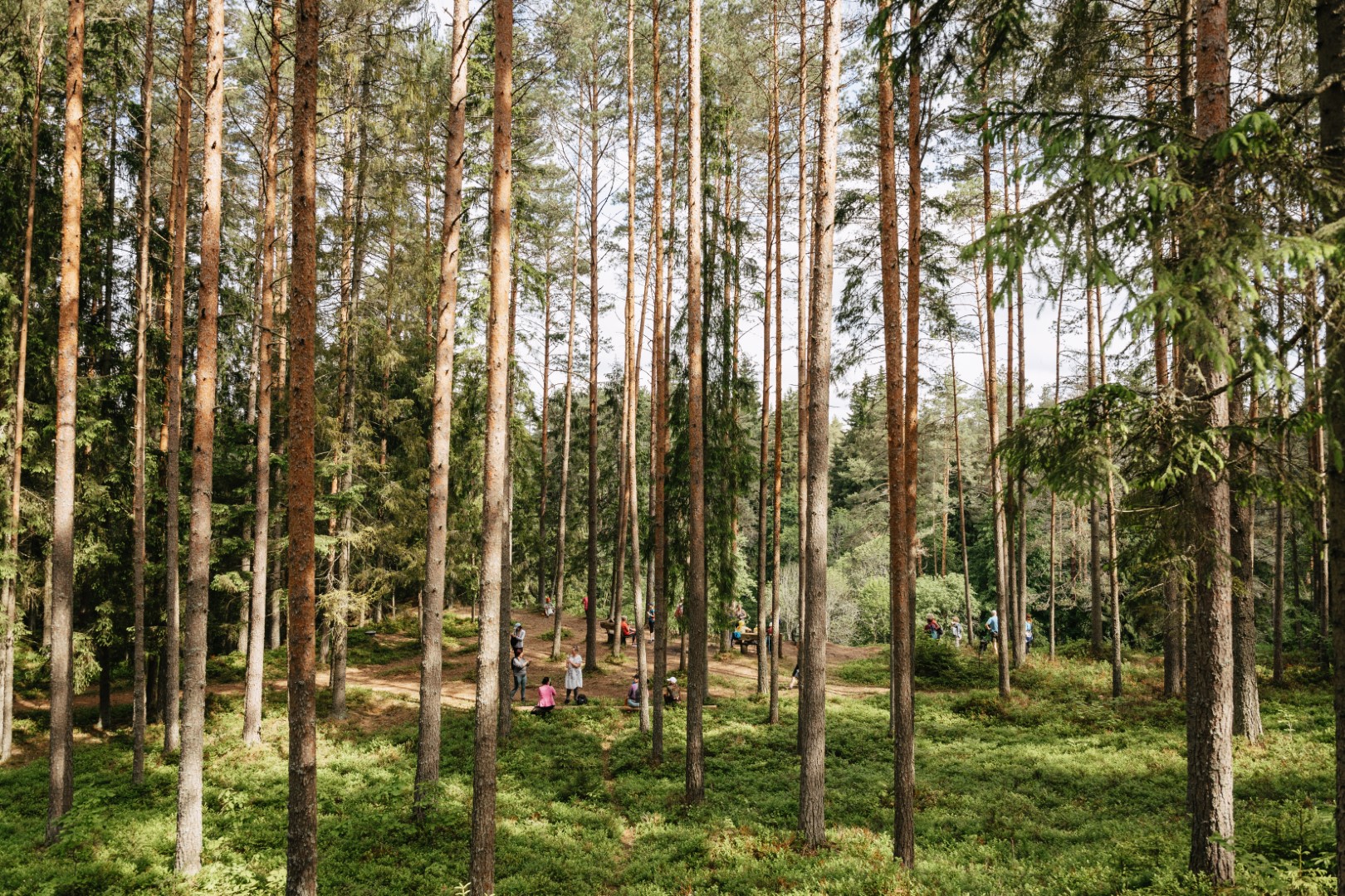
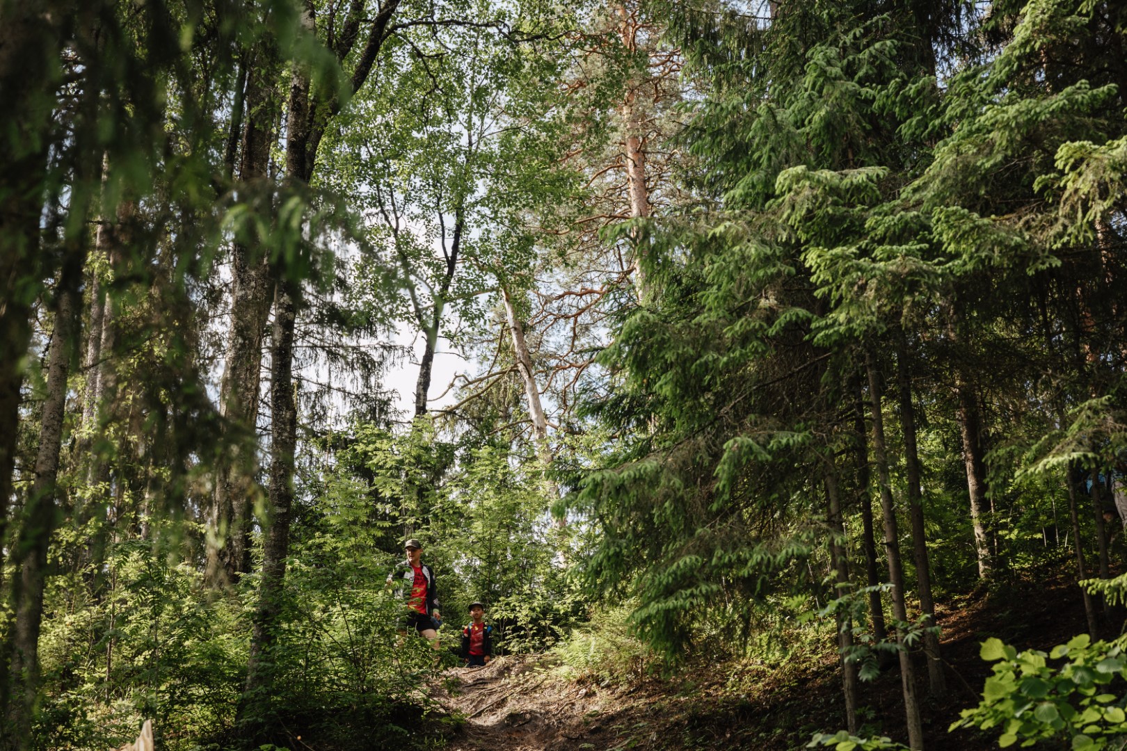
This stage of 21 km from Valmiera to Caunītes starts in Valmiera from the St. Simon’s Church and leads along the Gauja river to Gauja national Park – in the direct and transmitted sense of the word in the forest, because the right bank of Gauja river between Valmiera and Cesis is sparsely populated, and most of the area is covered in forest. There are no shops and no catering places along the way, so should stock up in Valmiera with food for at least a day and a half and with drinking water for one day. There will be no bridges across the Gauja river once leave Valmiera city. However, this section of the road will not be a monotonous forest road, but along the way there will be an opportunity to see one of the most beautiful natural monuments of Latvia – Sietiniezis, the largest outcrop of white sandstone in the Baltics.
Difficulty level: moderate difficulty
The GPX file download for the route Valmiera – Liepa HERE